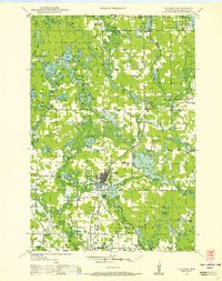
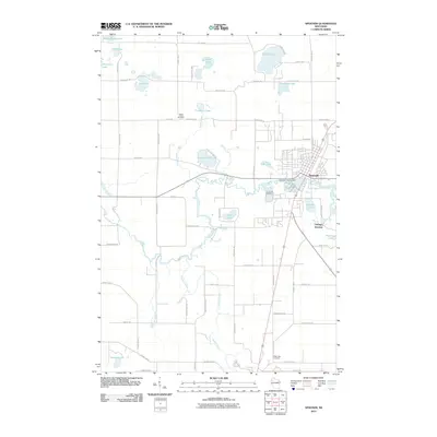
1948 Map of Spooner
USGS Topo · Published 1955About this map
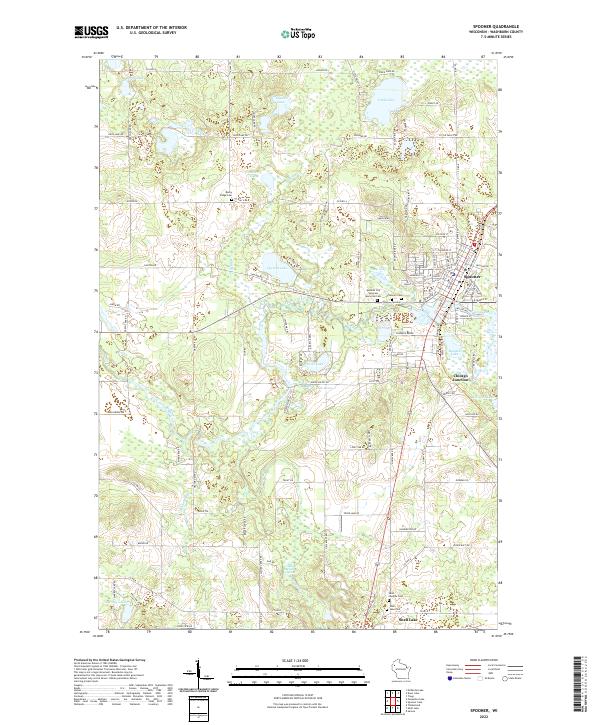
Spooner and the surrounding Washburn County landscape are defined by the convergence of the Chicago and North Western railway lines and the winding course of the Namekagon River. In the late 1940s, this region was a mosaic of small rural school districts, including the Tadpole Sch, Beaver Brook Sch, and Blooming Valley Sch, many of which were located at remote crossroads. The map details a transition from forest and river valley to organized agriculture and municipal development, notably at the State Experimental Farm and the Fish Hatchery near the Spooner townsite.
Find a feature on this map
102 named features on this map. Tap any name to fly to it.
Don’t see what you’re looking for? This feature index may not catch every label — zoom into the map to look around manually.
Map Details
Editions of this 1948 Spooner Map
This is the sole edition of this map. No revisions or reprints were ever made.
Historical Maps of Spooner Through Time
10 maps found
1948 Spooner
Washburn County, WI
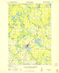
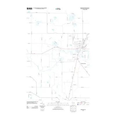
1949 Spooner
Washburn County, WI
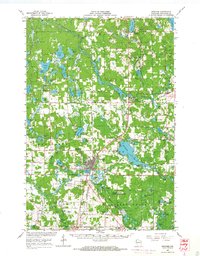
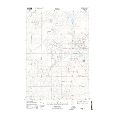
1965 Spooner
Washburn County, WI

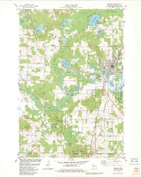
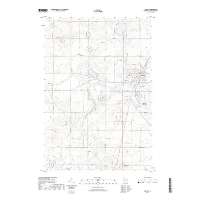
1980 Spooner
Washburn County, WI
1982 Spooner
Washburn County, WI
2010 Spooner
Washburn County, WI
2013 Spooner
Washburn County, WI
2015 Spooner
Washburn County, WI
2018 Spooner
Washburn County, WI
2022 Spooner
Washburn County, WI