
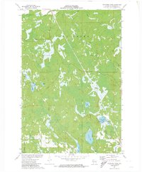
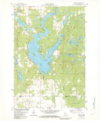
1949 Map of Chittamo
USGS Topo · Published 1949About this map
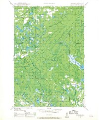
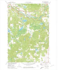
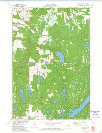
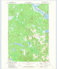
Chittamo and Stanberry serve as focal points for this post-war landscape in northern Wisconsin, where the terrain is defined by a dense network of glacial lakes and marshy lowlands. The map reveals a rural social infrastructure centered on small community hubs like Chittamo Sch and Chippanazie Sch, providing critical details for local genealogists tracing family roots in Gull Lake or Stinnett. The Eau Claire River and Totagatic River dominate the drainage pattern, with the latter regulated by the Totagatic Dam near Nelson Lake. Numerous named water bodies, including Sauntrys Pocket Lake, Mulligan Lake, and Desrosier Lake, suggest a geography where seasonal travel and drainage were primary concerns. The transition from established settlements like Harmon to the winding paths of Frog Creek and Black Brook illustrates the pocketed nature of settlement amidst the region's prominent timber and water resources.
Find a feature on this map
53 named features on this map. Tap any name to fly to it.
Don’t see what you’re looking for? This feature index may not catch every label — zoom into the map to look around manually.
Map Details
Editions of this 1949 Chittamo Map
This is the sole edition of this map. No revisions or reprints were ever made.
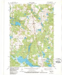
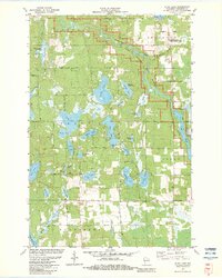
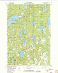
Historical Maps of Hayward Through Time
20 maps found
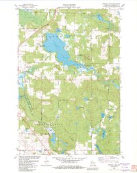
1947 Chittamo
Washburn County, WI
1949 Chittamo
Washburn County, WI
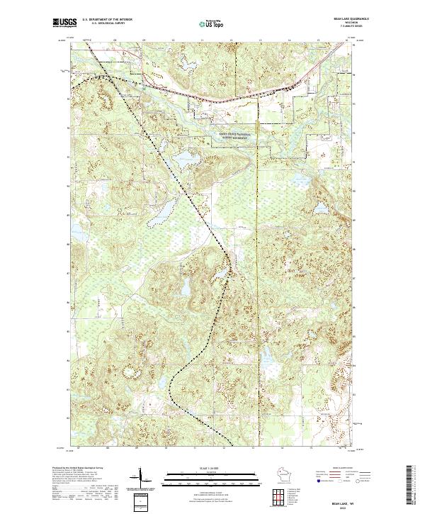
1971 Bean Lake
Washburn County, WI
1971 Potato Lake
Washburn County, WI
1971 Stanberry East
Washburn County, WI
1971 Stanberry West
Washburn County, WI
1981 Sarona
Washburn County, WI
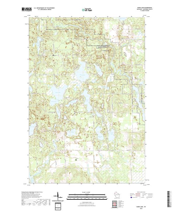
1982 Dunn Lake
Washburn County, WI
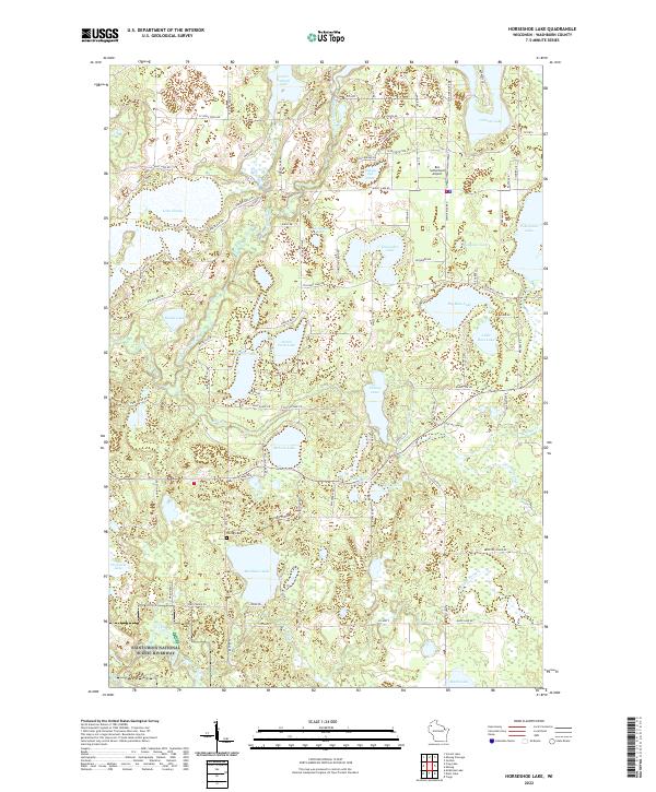
1982 Horseshoe Lake
Washburn County, WI
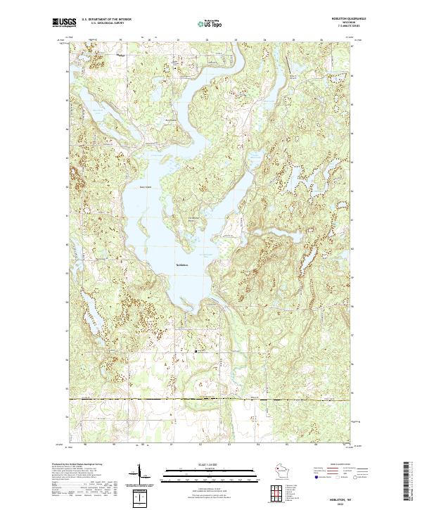
1982 Nobleton
Washburn County, WI
1982 Spooner Lake
Washburn County, WI
2022 Bean Lake
Washburn County, WI
2022 Dunn Lake
Washburn County, WI
2022 Horseshoe Lake
Washburn County, WI
2022 Nobleton
Washburn County, WI
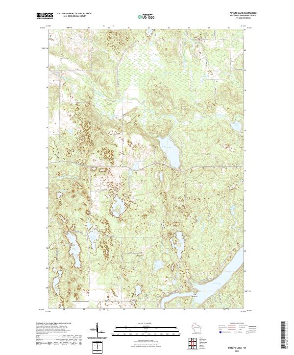
2022 Potato Lake
Washburn County, WI
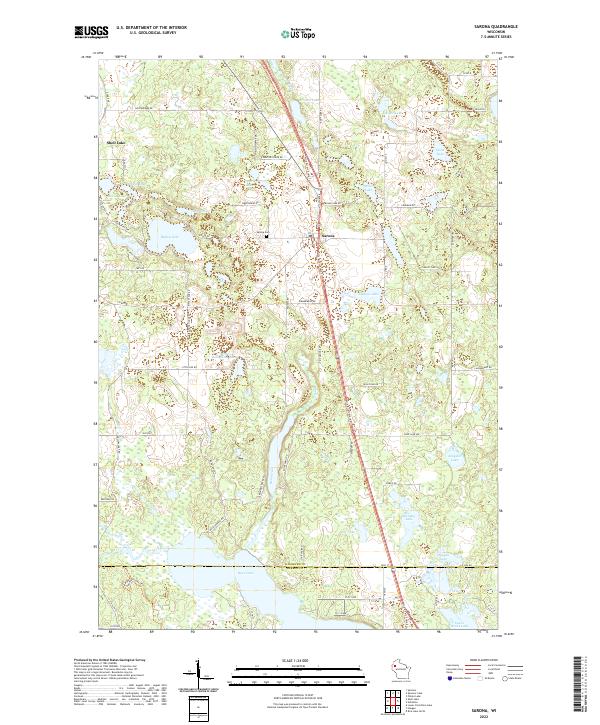
2022 Sarona
Washburn County, WI
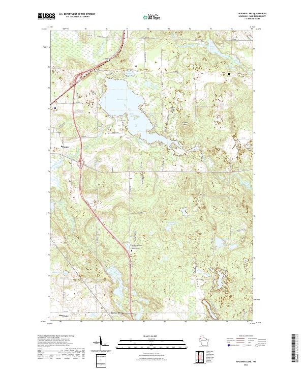
2022 Spooner Lake
Washburn County, WI
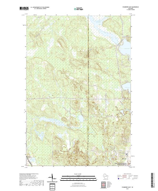
2022 Stanberry East
Washburn County, WI
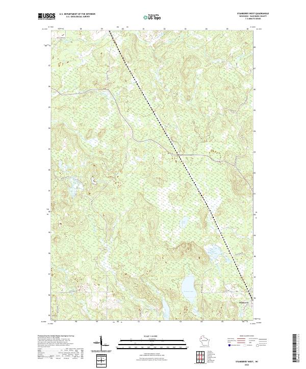
2022 Stanberry West
Washburn County, WI