Loading...
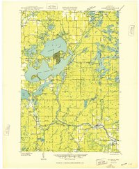
Loading map...1948 Map of Couderay
USGS Topo · Published 1948About this map
Court Oreilles Lake and Grindstone Lake dominate the northern landscape of this Sawyer County survey, where the Lac Court Oreilles Indian Reservation Boundary marks a significant cultural and administrative division. The era's transportation network is defined by the Chicago St Paul Minneapolis and Omaha and Northwestern railroads, which parallel the Couderay River through the heart of the region.
Find a feature on this map
84 named features on this map. Tap any name to fly to it.
Don’t see what you’re looking for? This feature index may not catch every label — zoom into the map to look around manually.
Map Details
Date Portrayed1948
Date Published1948
PublisherU.S. Geological Survey
Map TypeTopographic
Scale1:48,000
Physical Dimensions22.57 x 27.35 inches
Editions of this 1948 Couderay Map
This is the sole edition of this map. No revisions or reprints were ever made.
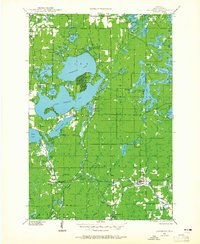
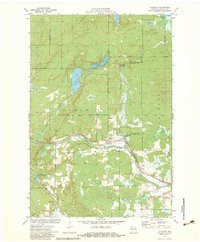
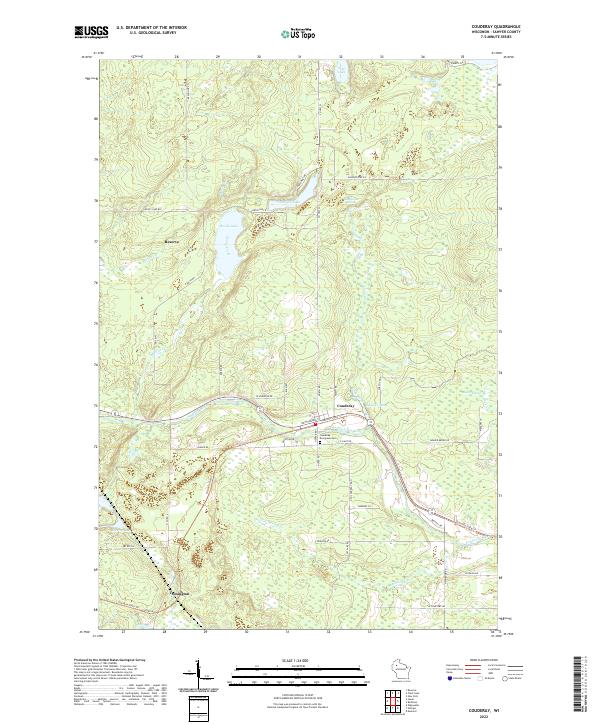
Historical Maps of Hayward Through Time
4 maps found
Featured Locations
Source Details
SourceU.S. Geological Survey
CopyrightPublic Domain