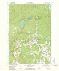
1971 Map of Couderay
USGS Topo · Published 1983About this map
Couderay and the Soo Line railroad corridor form the social and economic axis of this Sawyer County landscape during the early 1970s. The village is situated north of the Couderay River, where the rail line parallels the modern Tuscobia-Park Falls State Trail. This map records a transition in land use, showing established settlements like Lemington and the locality of Ortwig alongside extensive conservation lands, including the Eddy Creek State Wildlife Management Area.
Find a feature on this map
29 named features on this map. Tap any name to fly to it.
Don’t see what you’re looking for? This feature index may not catch every label — zoom into the map to look around manually.
Map Details
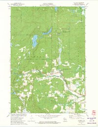
Editions of this 1971 Couderay Map
2 editions found
Other maps of this area

1944 · Exeland
USGS Topo · 1:48,000

1944 · Couderay
USGS Topo · 1:48,000

1944 · Radisson
USGS Topo · 1:48,000

1945 · Meteor
USGS Topo · 1:48,000

1947 · Exeland
USGS Topo · 1:48,000

1948 · Couderay
USGS Topo · 1:48,000

1949 · Radisson
USGS Topo · 1:48,000

1949 · Meteor
USGS Topo · 1:48,000

1953 · Rice Lake
USGS Topo · 1:250,000

1959 · Rice Lake
USGS Topo · 1:250,000