
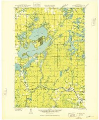
1949 Map of Meteor
USGS Topo · Published 1949About this map
Chetac Lake and the Edgewater settlement dominate the northwestern corner of this Rusk and Sawyer County landscape, where the northern woods meet an emerging network of rural school districts and small hamlets. The mid-century era is defined by the transition from heavy timber extraction to a more settled rural economy, evidenced by the numerous small educational houses such as Wooddale Sch, Valley View Sch, and Lone Elm Sch that served remote farmstead families.
Find a feature on this map
56 named features on this map. Tap any name to fly to it.
Don’t see what you’re looking for? This feature index may not catch every label — zoom into the map to look around manually.
Map Details
Editions of this 1949 Meteor Map
This is the sole edition of this map. No revisions or reprints were ever made.
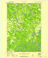
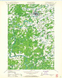
Other maps of this area

1944 · Exeland
USGS Topo · 1:48,000

1944 · Couderay
USGS Topo · 1:48,000

1944 · Radisson
USGS Topo · 1:48,000

1945 · Meteor
USGS Topo · 1:48,000

1947 · Exeland
USGS Topo · 1:48,000
1948 · Couderay
USGS Topo · 1:48,000
1948 · Stone Lake
USGS Topo · 1:48,000

1948 · Weyerhauser
USGS Topo · 1:48,000
1948 · Ladysmith
USGS Topo · 1:48,000
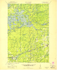
1949 · Radisson
USGS Topo · 1:48,000