Old Maps of Weirgor, Wisconsin
Explore 19 old maps of Weirgor, spanning from 1944 to today. These high-resolution historic maps reveal how streets, neighborhoods, landmarks, and natural features evolved over time — perfect for genealogy, metal detecting, research, and local history exploration.
What you can do with these maps:
- See how Weirgor changed over time: Compare historical maps to modern-day views to trace roads, homesites, rail lines & more.
- View detailed metadata: Each map includes creators, publishers, year, scale, and archive source.
- Overlay maps with satellite & LiDAR: Visualize the past alongside modern tools to explore terrain & human change.
- Trusted historical sources: Maps sourced from the USGS, Library of Congress, and other archives.
- Access maps your way: View online, download high-res files, or order prints for personal or research use.
Start exploring old maps of Weirgor to uncover forgotten places, hidden landmarks, and the deep history beneath your feet.
Weirgor, WI maps
(19)- 1944 Map of Exeland, 1952 Print
 1944 Exeland1952 Print · USGSNorthern Wisconsin's river country is captured in the mid-1940s as rural life centered on local schools and the rail line. Genealogists can trace family footprints near Exeland or at one of many country schoolhouses like Murry Sch and Laurel Hill Sch.2 unique versions available
 - 1945 Map of Meteor, 1961 Print
 1945 Meteor1961 Print · USGSNorthern Wisconsin's timber and lake country is captured here just after the war, showing the area as small settlements like Edgewater and Meteor grew. You can trace the Old RR Grade and find historic rural schools like Glendale Sch and Frontier Sch.2 unique versions available
 - 1947 Map of Exeland
 1947 Exeland1947 Print · USGSNorthwest Wisconsin's river country comes into focus in the 1940s as rural school districts and small homesteads still defined the landscape. Genealogists can locate family-named landmarks like Reppert School or Murry School and trace the original course of the Chippewa River.
 - 1949 Map of Meteor
 1949 Meteor1949 Print · USGSRusk and Sawyer Counties show a landscape of timber and early rail development in the late 1940s. Genealogists can locate family schoolhouses like Sentinel Ash Sch or Frontier Sch and trace the paths of the Old RR Grade and Edgewater shoreline.
 - 1953 Map of Rice Lake, 1967 Print
 1953 Rice Lake1967 Print · USGSNorthwest Wisconsin during the mid-fifties reveals a landscape defined by timber, rail, and water. Genealogists and historians can trace the development of river towns like Ladysmith and Rice Lake along the Soo Line and Chicago and North Western railroads.2 unique versions available
 - 1959 Map of Rice Lake
 1959 Rice Lake1959 Print · USGSNorthwest Wisconsin in the late fifties was a land of expanding road networks and deep-seated timber history. Genealogists and historians can trace rail lines like the Soo Line RR and Chicago St Paul Minneapolis and Omaha Ry as they link settlements from Spooner to Medford.
 - 1972 Map of Weirgor, 1975 Print
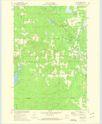 1972 Weirgor1975 Print · USGSSawyer and Rusk Counties are captured in the early seventies, showing a landscape shaped by the Soo Line and the Meteor Hills. Researchers can trace old foundations near Meteor or explore the Weirgor Springs State Wildlife Area.
 - 1972 Map of Exeland, 1975 Print
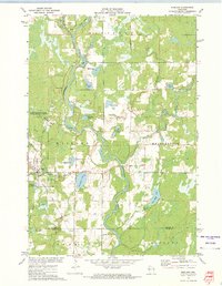 1972 Exeland1975 Print · USGSSawyer County life in the early seventies centered on the river junctions and the rails of the Soo Line Railroad. You can trace local family landmarks and burial sites like the Bellile Cem, Mennonite Cem, and the village at Exeland.
 - 1980 Map of Spooner
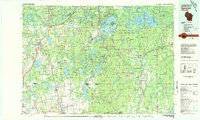 1980 Spooner1980 Print · USGSNorthwestern Wisconsin at the dawn of the eighties reveals a landscape of deep forests and transitioning rail corridors. Genealogists and historians can trace lakefront settlements like Spooner and Birchwood or follow the early Tuscobia-Park Falls State Trail.
 - 2010 Map of Exeland, 2010 Print
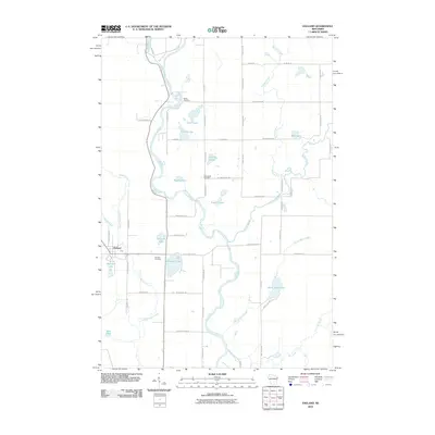 2010 Exeland2010 Print · USGSSawyer County at the start of the decade reveals a landscape defined by the winding Chippewa River and the quiet village of Exeland. Genealogists and local historians can trace family locations near the Mennonite Cemetery, Bellile Cemetery, and Windfall Lake.
 - 2010 Map of Weirgor, 2010 Print
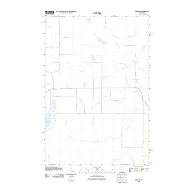 2010 Weirgor2010 Print · USGSSawyer County at the start of the decade is defined by its network of glacial lakes and northern streams. Local historians can trace rural routes and water features like Weirgor Lake, the settlement of Meteor, and the winding path of Swan Creek.
 - 2013 Map of Exeland, 2013 Print
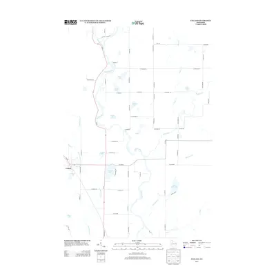 2013 Exeland2013 Print · USGSSawyer County at the start of the 2010s is characterized by its dense network of rivers and glacial lakes surrounding the village of Exeland. Genealogists and researchers can trace the waterways of the Chippewa River, find family-named routes, and locate landmarks like Balsam Lake and Windfall Lake.
 - 2013 Map of Weirgor, 2013 Print
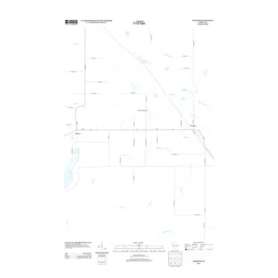 2013 Weirgor2013 Print · USGSSawyer County at the start of the 2010s reveals a landscape defined by glacial springs and small rural settlements. Genealogists and local historians can trace the roads around Meteor and Weirgor, or locate family-named landmarks like Buckhorn Spring and Kitty-Wompus Airport.
 - 2015 Map of Exeland, 2015 Print
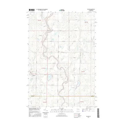 2015 Exeland2015 Print · USGSSawyer County at the start of the twenty-first century reveals a landscape of winding rivers and glacial lakes concentrated around the village of Exeland. Genealogists and local historians can trace family-named roads and locate several area burial sites, including the Mennonite Cem, Bellile Cem, and Exeland Cem.
 - 2015 Map of Weirgor, 2015 Print
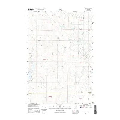 2015 Weirgor2015 Print · USGSThe rural border of Sawyer and Rusk counties comes to life in this survey of the northern woods during the mid-2010s. Researchers can locate family landmarks along Bjelland Lane, find the small Kitty-Wompus Airport, or trace the numerous named waters like Weirgor Springs and Deer Lake.
 - 2018 Map of Weirgor, 2018 Print
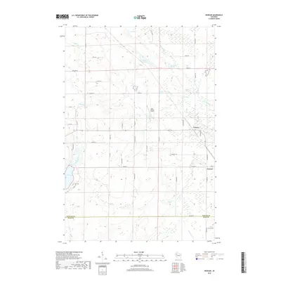 2018 Weirgor2018 Print · USGSSawyer County and Rusk County meet here in northern Wisconsin during the late 2010s, a landscape defined by its springs and marshlands. Genealogists and locals can trace family-named roads and landmarks like Kitty-Wompus Airport, Exeland, and Weirgor Springs.
 - 2018 Map of Exeland, 2018 Print
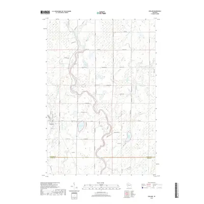 2018 Exeland2018 Print · USGSWisconsin's Northwoods landscape is captured here in the late 2010s, showing the settlement of Exeland and its surrounding glacial lakes. Genealogists can locate several local burial grounds including Bellile Cemetery and Exeland Cemetery near the banks of the Chippewa River.
 - 2022 Map of Weirgor, 2022 Print
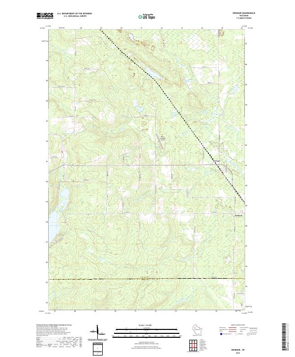 2022 Weirgor2022 Print · USGSThe rural landscape around Exeland and Weirgor comes into focus in this modern survey of Sawyer County. Genealogists and local historians can trace family road names and remote landmarks like Kitty-Wompus Airport, Bobcat Hill, and the many springs feeding Little Weirgor Cr.
 - 2022 Map of Exeland, 2022 Print
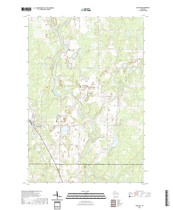 2022 Exeland2022 Print · USGSExeland and the surrounding lake country of Sawyer County are captured here in the early twenty-first century. Genealogists can locate family sites near Windfall Cem or Bellile Cem, while researchers trace the waterways of the Couderay River and Windfall Lake.
End of results
Showing maps 1-19 of 19
Top cities near Weirgor
- Ladysmith historical maps
- Thornapple historical maps
- Bruce historical maps
- Edgewater historical maps
- Winter historical maps
- Ojibwa historical maps
See more
Frequently asked questions
- What are the different types of historical maps available for Weirgor?
- What is the oldest map of Weirgor?
- Where can I purchase historical maps of Weirgor for my home or office?
- Where can I download high-res historical maps of Weirgor?
- Are there historical topographic maps available for Weirgor?
- Is there historical aerial imagery available for Weirgor?
- Where are historical maps of Weirgor sourced from?