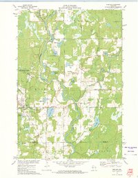
1944 Map of Exeland
USGS Topo · Published 1952About this map
The Chippewa River and the Flambeau River define the hydraulic character of this northern Wisconsin landscape as it appeared in the mid-1940s. The village of Exeland serves as a local hub along the Minneapolis St Paul and Sault Ste Marie rail line, which cuts through the township of Weirgor. This era is marked by a dense network of country schools distributed across the townships, such as Balsam Ridge Sch, Reppert Sch, and Jerome Sch, illustrating the dispersed rural community structure before school consolidation became widespread. Logging and hydraulic engineering are evident in the creation of the Dairyland Reservoir in the southeast. Natural features like Bellisle Falls and numerous lakes, including Windfall Lake and Hess Lake, are set amidst a mosaic of forest and clearing that characterizes the border of Sawyer and Rusk counties.
Find a feature on this map
64 named features on this map. Tap any name to fly to it.
Don’t see what you’re looking for? This feature index may not catch every label — zoom into the map to look around manually.
Map Details
Editions of this 1944 Exeland Map
2 editions found
Historical Maps of Thornapple Through Time
4 maps found