Loading...
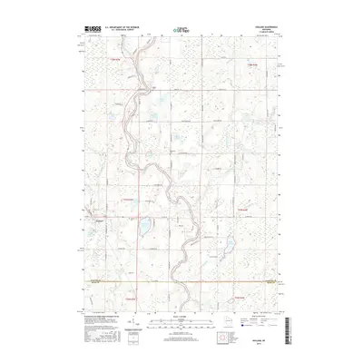
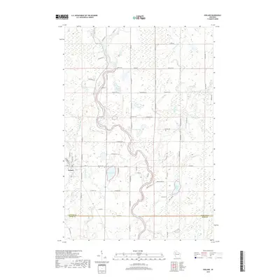
Loading map...1944 Map of Exeland
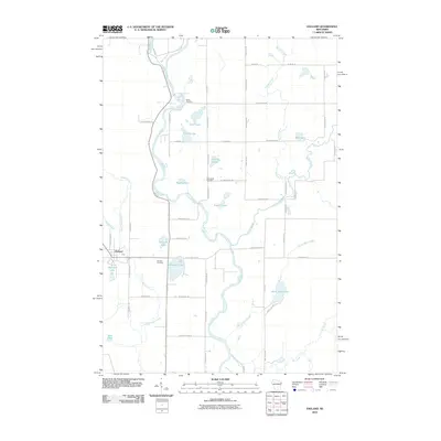
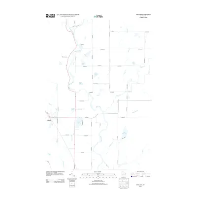
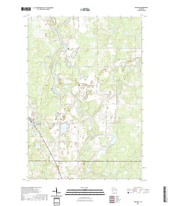
USGS Topo · Published 1967About this map
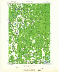
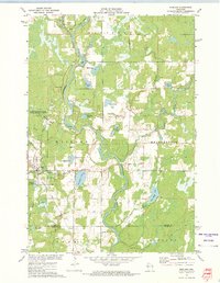
The Chippewa River and the Flambeau River define the hydraulic character of this northern Wisconsin landscape as it appeared in the mid-1940s. A dense network of small rural schools, including Balsam Ridge Sch, North Star Sch, and Meadowbrook Sch, reveals a period of high rural residency before modern consolidation. The village of Exeland serves as a primary hub, anchored by the Soo Line railroad and the Exeland Cem.
Find a feature on this map
66 named features on this map. Tap any name to fly to it.
Don’t see what you’re looking for? This feature index may not catch every label — zoom into the map to look around manually.
Map Details
Date Portrayed1944
Date Published1967
PublisherU.S. Geological Survey
Map TypeTopographic
Scale1:48,000
Physical Dimensions22.5 x 27.25 inches
Editions of this 1944 Exeland Map
2 editions found

Historical Maps of Thornapple Through Time
8 maps found

Featured Locations
Source Details
SourceU.S. Geological Survey
CopyrightPublic Domain