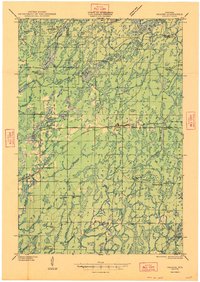
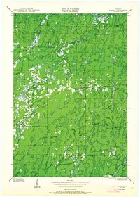
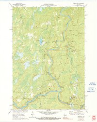
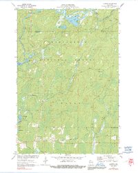
1947 Map of Draper
USGS Topo · Published 1947About this map
The Chippewa River and its numerous tributaries, including Thornapple Creek and the Brunet River, dominate this mid-century landscape in the Chequamegon National Forest. This era of Sawyer County history is characterized by the transition from heavy logging to managed forestry and emerging recreation, evidenced by the presence of numerous specialized camps such as Old Le May Camp and Old Christmas Camp. The small settlements of Loretta and Draper serve as the primary hubs along the Minneapolis St Paul and Sault Ste Marie Railway and State Highway No 70.
Find a feature on this map
53 named features on this map. Tap any name to fly to it.
Don’t see what you’re looking for? This feature index may not catch every label — zoom into the map to look around manually.
Map Details
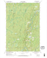
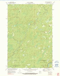
Editions of this 1947 Draper Map
2 editions found
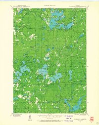
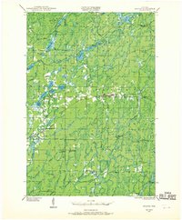
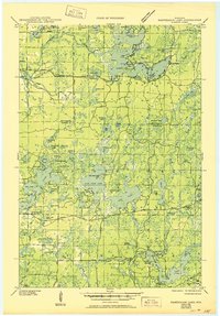
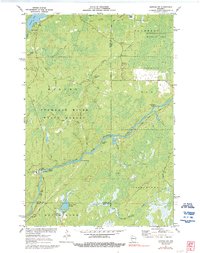
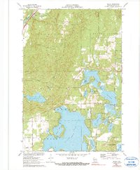
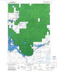
Historical Maps of Draper Through Time
46 maps found
1943 Namekagon Lake
Sawyer County, WI
1944 Draper
Sawyer County, WI
1945 Namekagon Lake
Sawyer County, WI
1947 Draper
Sawyer County, WI
1970 Kennedy
Sawyer County, WI

1970 Oxbo
Sawyer County, WI

1971 Babbs Island
Sawyer County, WI
1971 Blaisdell Lake
Sawyer County, WI
1971 Clam Lake SW
Sawyer County, WI

1971 Hauer
Sawyer County, WI
1971 Ingram NE
Sawyer County, WI
1971 Ingram NW
Sawyer County, WI
1971 Kennan NW
Sawyer County, WI
1971 Lake Winter
Sawyer County, WI
1971 Loretta
Sawyer County, WI
1971 Seeley
Sawyer County, WI

1971 Spider Lake
Sawyer County, WI
1972 Barker Lake
Sawyer County, WI

1972 Edgewater
Sawyer County, WI

1972 Hogsback Creek
Sawyer County, WI

1972 Weirgor
Sawyer County, WI

2005 Barker Lake
Sawyer County, WI

2005 Blaisdell Lake
Sawyer County, WI

2005 Clam Lake SW
Sawyer County, WI

2005 Kennedy
Sawyer County, WI

2005 Loretta
Sawyer County, WI

2005 Moose Lake
Sawyer County, WI

2005 Spider Lake
Sawyer County, WI
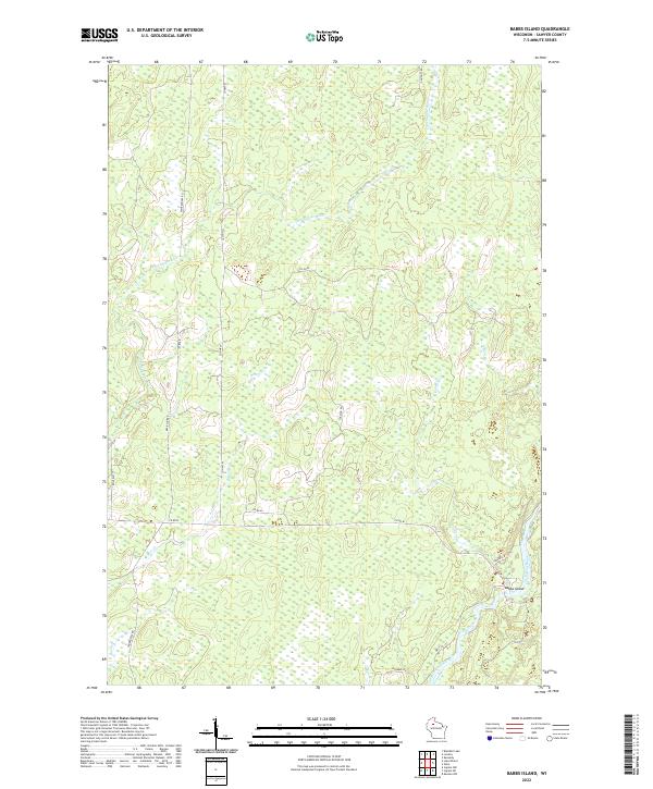
2022 Babbs Island
Sawyer County, WI

2022 Barker Lake
Sawyer County, WI

2022 Blaisdell Lake
Sawyer County, WI

2022 Clam Lake SW
Sawyer County, WI
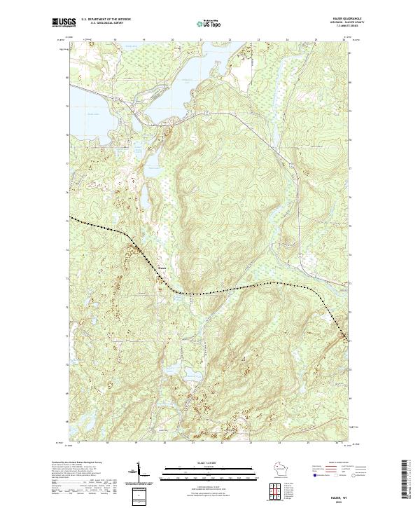
2022 Hauer
Sawyer County, WI

2022 Hogsback Creek
Sawyer County, WI
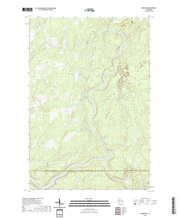
2022 Ingram NE
Sawyer County, WI
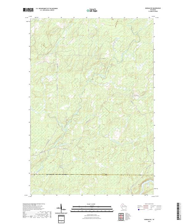
2022 Ingram NW
Sawyer County, WI

2022 Kennan NW
Sawyer County, WI

2022 Kennedy
Sawyer County, WI
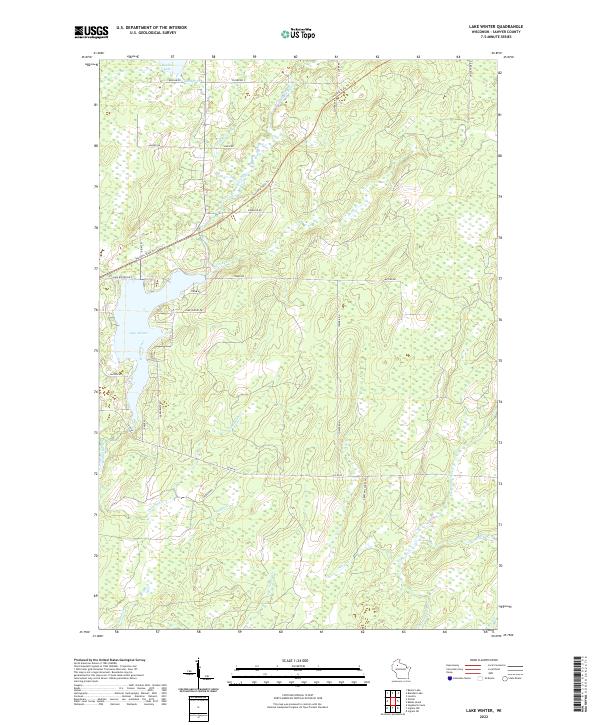
2022 Lake Winter
Sawyer County, WI

2022 Loretta
Sawyer County, WI
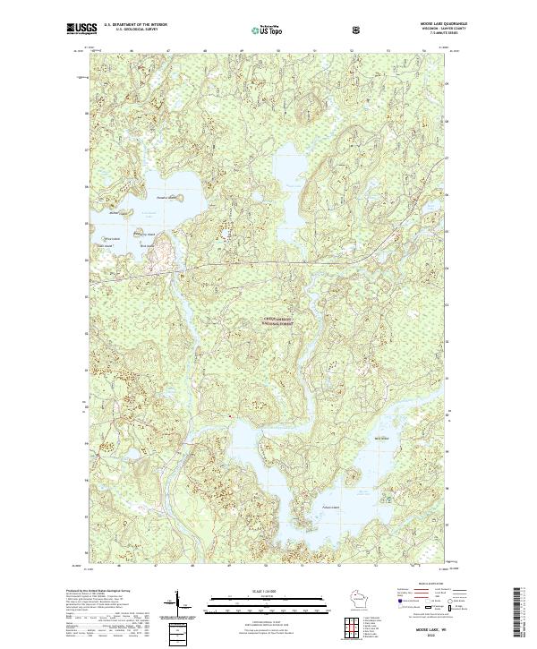
2022 Moose Lake
Sawyer County, WI
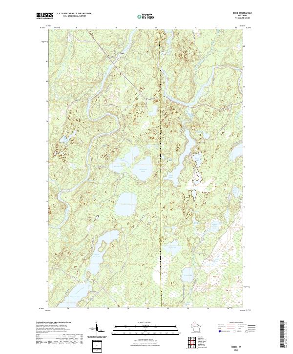
2022 Oxbo
Sawyer County, WI

2022 Seeley
Sawyer County, WI
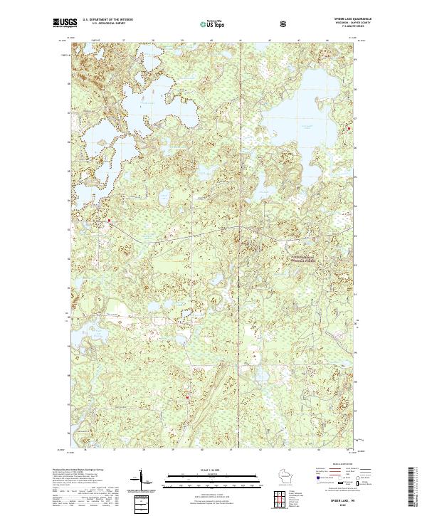
2022 Spider Lake
Sawyer County, WI

2022 Weirgor
Sawyer County, WI

2023 Edgewater
Sawyer County, WI