
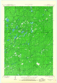
1942 Map of Clam Lake
USGS Topo · Published 1959About this map
Chequamegon National Forest dominates this landscape in the early 1940s, providing a look at a region defined by federal conservation efforts and the timber-related infrastructure of the era. The small settlement of Clam Lake serves as a central hub, surrounded by a dense network of water bodies including Buffalo Lake, Spider Lake, and the connected Upper Clam Lake and Lower Clam Lake. The presence of the Clam Lake CCC Camp and the NYA Camp highlights the significance of Depression-era work programs in developing the recreational and administrative facilities of northern Wisconsin. Strategic points like the Clam Lake Fire Tower and the Clam Lake Guard Station underscore the priority of forest management and fire protection across the tri-county boundary of Bayfield, Ashland, and Sawyer counties. Travel through these woods is largely limited to State Highway No 77 and scattered forest tracks.
Find a feature on this map
62 named features on this map. Tap any name to fly to it.
Don’t see what you’re looking for? This feature index may not catch every label — zoom into the map to look around manually.
Map Details
Editions of this 1942 Clam Lake Map
2 editions found
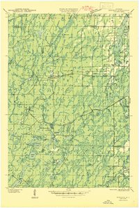
Other maps of this area

1941 · Kennedy
USGS Topo · 1:48,000
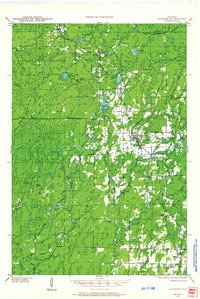
1942 · Glidden
USGS Topo · 1:48,000
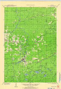
1942 · Mellen
USGS Topo · 1:48,000

1942 · Marengo
USGS Topo · 1:48,000

1943 · Namekagon Lake
USGS Topo · 1:48,000

1944 · Draper
USGS Topo · 1:48,000

1944 · Radisson
USGS Topo · 1:48,000

1944 · Grandview
USGS Topo · 1:48,000
1945 · Kennedy
USGS Topo · 1:48,000

1945 · Namekagon Lake
USGS Topo · 1:48,000