Loading...
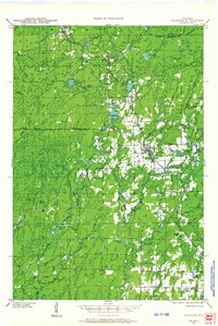
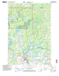
Loading map...1942 Map of Glidden
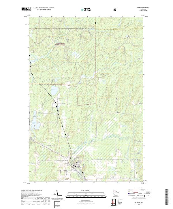
USGS Topo · Published 1956About this map
The Chippewa River and its East Fork Chippewa River dominate this 1942 examination of the north woods, where small settlements cling to the rail and road corridors. The Minneapolis St Paul and Sault Ste Marie RR cuts a north-south path through the landscape, anchoring towns like Morse and Glidden. Much of the western territory is designated as the Chequamegon National Forest, a terrain defined by glacial features including Gordon Lake and Spillberg Lake.
Find a feature on this map
46 named features on this map. Tap any name to fly to it.
Don’t see what you’re looking for? This feature index may not catch every label — zoom into the map to look around manually.
Map Details
Date Portrayed1942
Date Published1956
PublisherU.S. Geological Survey
Map TypeTopographic
Scale1:48,000
Physical Dimensions18.14 x 27.13 inches
Editions of this 1942 Glidden Map
This is the sole edition of this map. No revisions or reprints were ever made.
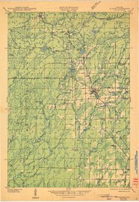
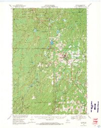
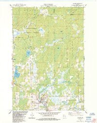
Historical Maps of Morse Through Time
6 maps found
Featured Locations
Source Details
SourceU.S. Geological Survey
CopyrightPublic Domain