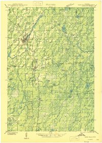
1943 Map of Park Falls
USGS Topo · Published 1943About this map
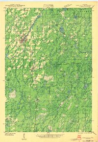
The North Fork Flambeau River carves a winding path through this northern Wisconsin landscape, where the industry of Park Falls meets the dense woodlands of the Chequamegon National Forest. This era shows a community structured around its natural resources, with a Power Plant and Ranger Sta situated near the river's bend. To the south, the settlement of Fifield serves as a local hub, while the more remote Lugerville occupies the southwestern reaches. Rural life is anchored by a dense network of country schoolhouses, such as Divine Rapids Sch, Sugarbush Sch, and Green Valley Sch, many of which were central to the scattered homesteads of the early 1940s. The presence of the Fifield Fire Tower and numerous glacial lakes, including Sailor Lake and Blockhouse Lake, highlights the importance of forest management and water systems in the Price Co area.
Find a feature on this map
65 named features on this map. Tap any name to fly to it.
Don’t see what you’re looking for? This feature index may not catch every label — zoom into the map to look around manually.
Map Details
Editions of this 1943 Park Falls Map
This is the sole edition of this map. No revisions or reprints were ever made.
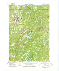
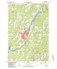
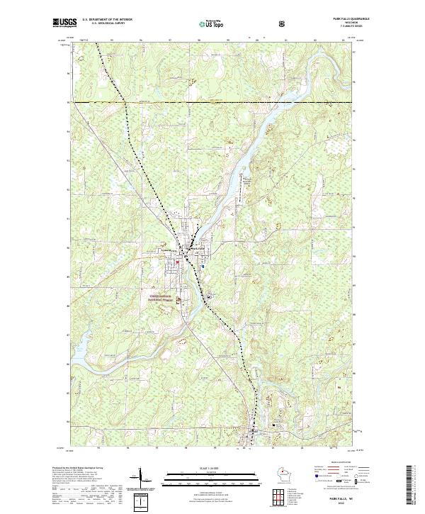
Historical Maps of Park Falls Through Time
7 maps found