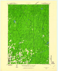
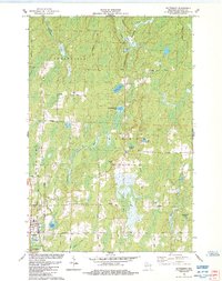
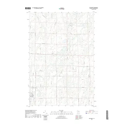
1940 Map of Butternut
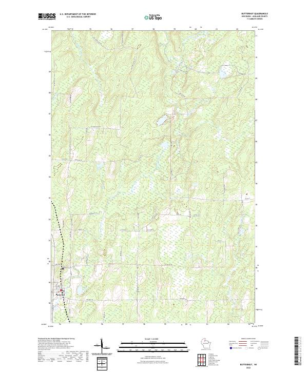
USGS Topo · Published 1961About this map
Butternut sits as the primary settlement in this northern Wisconsin landscape during the early 1940s, situated along the Soo Line railroad and Highway 13. The area is defined by a dense network of timber resources and water management, evidenced by numerous logging roads and the strategic placement of the Butternut Fire Tower and Pleasant Lake Fire Tower. To the east, the Flambeau Flowage dominates the hydrology, while the interior is dotted with remote outposts like Old Camp and Teater Camp.
Find a feature on this map
43 named features on this map. Tap any name to fly to it.
Don’t see what you’re looking for? This feature index may not catch every label — zoom into the map to look around manually.
Map Details
Editions of this 1940 Butternut Map
This is the sole edition of this map. No revisions or reprints were ever made.
Historical Maps of Mercer Through Time
10 maps found
1940 Butternut
Ashland County, WI
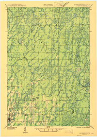
1947 Butternut
Ashland County, WI
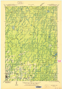
1950 Butternut
Ashland County, WI
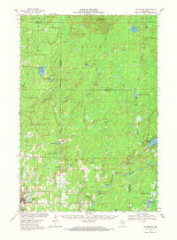
1968 Butternut
Ashland County, WI
1984 Butternut
Ashland County, WI
2010 Butternut
Ashland County, WI
2013 Butternut
Ashland County, WI
2015 Butternut
Ashland County, WI
2018 Butternut
Ashland County, WI
2022 Butternut
Ashland County, WI