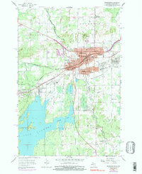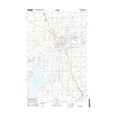
1943 Map of Ironwood
USGS Topo · Published 1943About this map
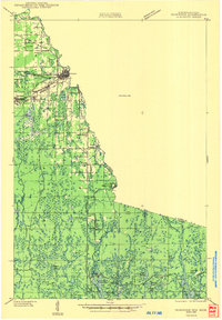
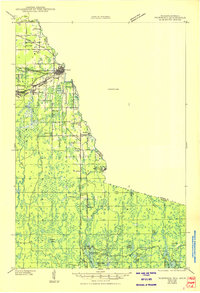
The Montreal River defines the winding border between Wisconsin and Michigan in this 1940s survey, anchoring a region defined by its timber and mineral heritage. Centered on the industrial and transport hub of Hurley, the landscape is crisscrossed by the Chicago and Northwestern Line and key arteries like Highway No 2. This era shows a distributed network of rural education and local governance, with several schoolhouses like Defer Sch and Oma Sch serving scattered settlements. Further south, the map reveals the transition from the settled iron ranges near Montreal and Giles to the dense lake country, where specialized sites like the Mosinee Lumber Camp and Buskirk stand near the edge of a significant Unsurveyed Area. Numerous water bodies, including Lake Lavina and American Lake, point to the region's burgeoning character as a Northwoods destination.
Find a feature on this map
38 named features on this map. Tap any name to fly to it.
Don’t see what you’re looking for? This feature index may not catch every label — zoom into the map to look around manually.
Map Details
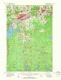
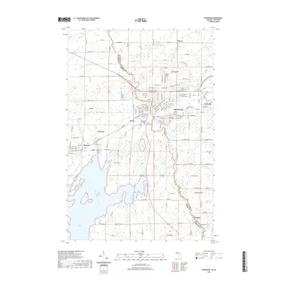
Editions of this 1943 Ironwood Map
2 editions found
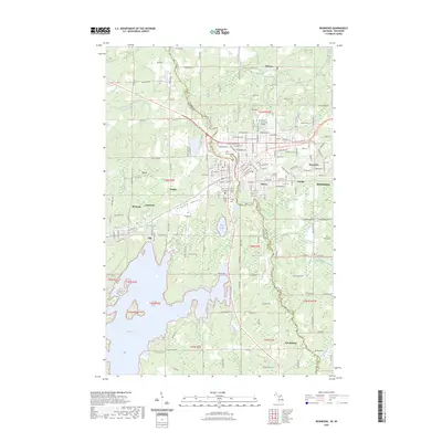
Historical Maps of Ironwood Through Time
9 maps found