
Loading...
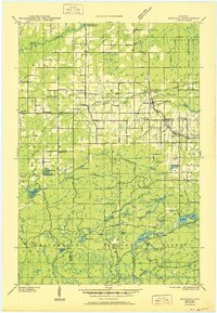
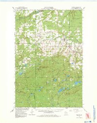
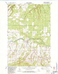
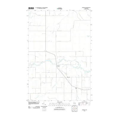
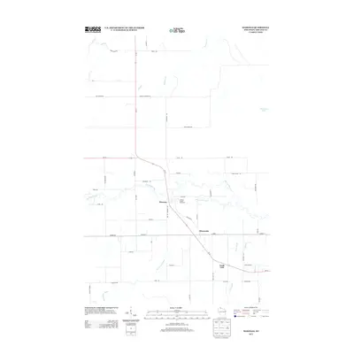
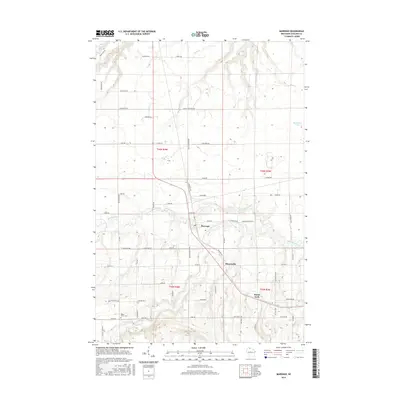
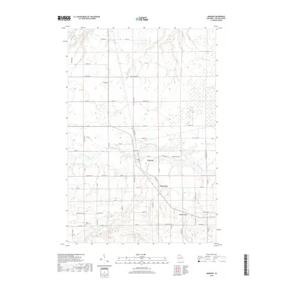
Loading map...1942 Map of Marengo
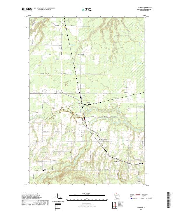
USGS Topo · Published 1964About this map
The Bad River Indian Reservation and Chequamegon National Forest dominate this landscape during the early 1940s, providing a look at northern Wisconsin before modern forest management and rural consolidation. Small agricultural and rail communities like Sanborn and Marengo serve as local hubs, connected by the Minneapolis St Paul and Sault Ste Marie Railroad and the Duluth South Shore and Atlantic Railroad.
Find a feature on this map
49 named features on this map. Tap any name to fly to it.
Don’t see what you’re looking for? This feature index may not catch every label — zoom into the map to look around manually.
Map Details
Date Portrayed1942
Date Published1964
PublisherU.S. Geological Survey
Map TypeTopographic
Scale1:48,000
Physical Dimensions18.56 x 27.18 inches
Editions of this 1942 Marengo Map
This is the sole edition of this map. No revisions or reprints were ever made.
Historical Maps of Sanborn Through Time
9 maps found
Featured Locations
Source Details
SourceU.S. Geological Survey
CopyrightPublic Domain