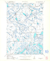
1950 Map of Stone Lake
USGS Topo · Published 1950About this map
Glacial lakes and wetlands define the landscape of northwestern Wisconsin in this mid-century survey. The area is anchored by the rural settlements of Spring Brook and Stone Lake, where the Chicago and North Western and the Minneapolis St Paul and Sault Ste Marie railroads intersect the timber and recreation country. Local geography is heavily shaped by the intricate network of water bodies, including Gull Lake, Bass Lake, and Potato Lake, along with specialized terrain features like the Cranberry Bog near Spring Brook.
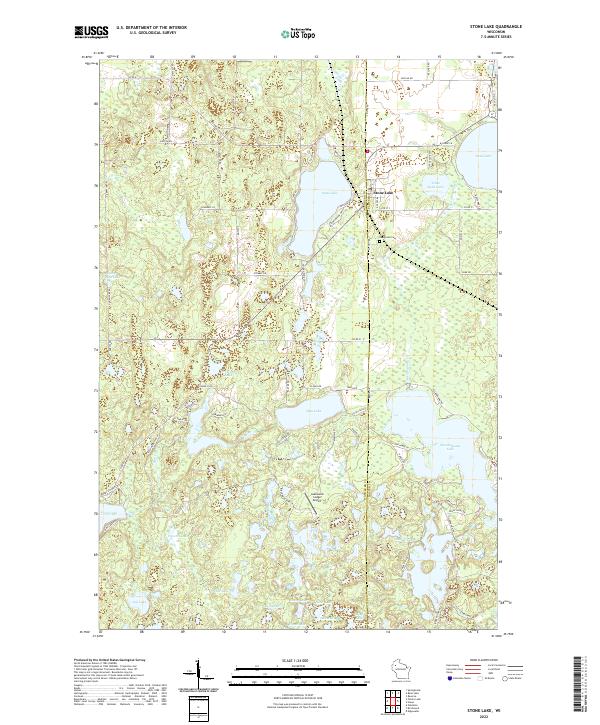
Find a feature on this map
85 named features on this map. Tap any name to fly to it.
Don’t see what you’re looking for? This feature index may not catch every label — zoom into the map to look around manually.
Map Details
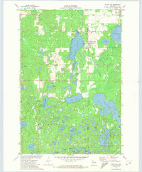
Editions of this 1950 Stone Lake Map
This is the sole edition of this map. No revisions or reprints were ever made.
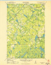
Historical Maps of Hayward Through Time
4 maps found