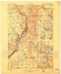
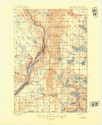
1901 Map of St Croix Dalles
USGS Topo · Published 1913About this map
The dramatic river gorge of the St. Croix River dominates this 1897 survey, serving as the border between Wisconsin and Minnesota. This landscape is defined by its early rail connectivity, featuring the Minneapolis ST. Paul And Sault Ste. Marie RY. and the ST. Paul And Duluth R. R. converging at significant transit points like Dresser Junction. The map captures the twin settlements of St. Croix Falls and Taylors Falls perched above the river, where the Taylors Falls Branch line terminates. To the east and west, the terrain transitions into a dense network of glacial lakes including Deer Lake, Big Horseshoe Lake, and Sand Lake, supporting early agricultural townships like Osceola, Farmington, and Balsam. The presence of small rail stops such as Franconia Station illustrates the late 19th-century reliance on steam power to link these river towns with the larger regional markets.
Find a feature on this map
72 named features on this map. Tap any name to fly to it.
Don’t see what you’re looking for? This feature index may not catch every label — zoom into the map to look around manually.
Map Details
Editions of this 1901 St Croix Dalles Map
6 editions found
Other maps of this area

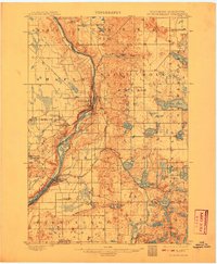
1900 · St Croix Dalles
USGS Topo · 1:62,500

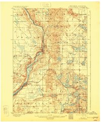
1901 · St Croix Dalles
USGS Topo · 1:62,500

1948 · New Richmond
USGS Topo · 1:62,500

1948 · Stillwater
USGS Topo · 1:62,500

1949 · New Richmond
USGS Topo · 1:62,500

1949 · Stillwater
USGS Topo · 1:62,500

1950 · Rush City
USGS Topo · 1:48,000

1950 · Deer Park
USGS Topo · 1:62,500

1950 · Balsam Lake
USGS Topo · 1:62,500

1951 · Milltown
USGS Topo · 1:48,000