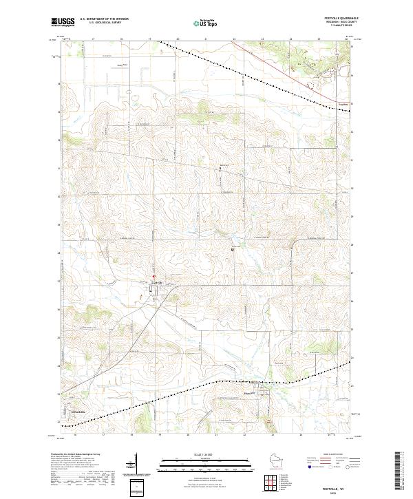
2022 Map of Footville
USGS Topo · Published 2022About this map
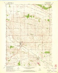
The village of Footville serves as the central hub of this agricultural landscape in Rock County, where the township lines of Plymouth, Center, Magnolia, and Spring Valley converge. The area is defined by a dense network of drainage, with Bass Creek and Stevens Creek winding through the rolling glacial terrain. This 2022 survey captures the enduring rural character of southern Wisconsin, documenting small settlements like Hanover and Leyden that have anchored the local farming economy for generations. Genealogical interest is centered on local burial grounds such as Bethel Cemetery and Grove Cemetery, while the presence of Buzzy Field suggests modern recreational land use alongside traditional dairy and crop lands. The spatial organization is further marked by a rigorous grid of section roads, including Mineral Point Road and Footville Road, which connect the scattered farmsteads to the commercial centers of Orfordville and the surrounding countryside.
Find a feature on this map
68 named features on this map. Tap any name to fly to it.
Don’t see what you’re looking for? This feature index may not catch every label — zoom into the map to look around manually.
Map Details
Editions of this 2022 Footville Map
This is the sole edition of this map. No revisions or reprints were ever made.