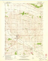
1962 Map of Footville
USGS Topo · Published 1972About this map
The agricultural landscape of Center and Plymouth townships is defined by the convergence of major rail corridors and the winding paths of Marsh Creek, Stevens Creek, and Bass Creek. At the center of this 1962 survey lies Footville, a critical junction where the Chicago and North Western railroad meets local roads. To the south, the village of Hanover sits along the C M ST P & P line, illustrating the importance of rail transport for rural Rock County communities during the mid-20th century.
Find a feature on this map
22 named features on this map. Tap any name to fly to it.
Don’t see what you’re looking for? This feature index may not catch every label — zoom into the map to look around manually.
Map Details
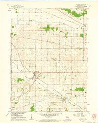
Editions of this 1962 Footville Map
2 editions found
Other maps of this area

1889 · Evansville
USGS Topo · 1:62,500

1890 · Stoughton
USGS Topo · 1:62,500

1891 · Janesville
USGS Topo · 1:62,500

1893 · Janesville
USGS Topo · 1:62,500

1893 · Brodhead
USGS Topo · 1:62,500

1894 · Evansville
USGS Topo · 1:62,500

1906 · Evansville
USGS Topo · 1:62,500

1954 · Rockford
USGS Topo · 1:250,000

1955 · Rockford
USGS Topo · 1:250,000

1958 · Rockford
USGS Topo · 1:250,000