
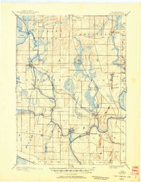
1890 Map of Stoughton
USGS Topo · Published 1890About this map
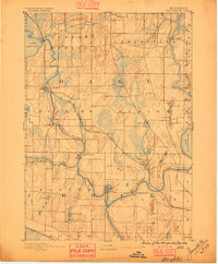
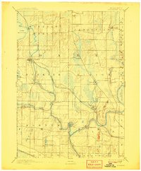
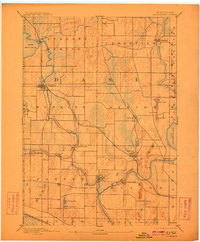
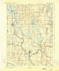
Stoughton and Edgerton serve as the primary hubs of this late-nineteenth-century landscape, where the Chicago Milwaukee and St Paul Railroad bridges the gap between the Yahara River and Rock River valleys. The terrain is defined by its glacial history, with marshes and small kettle lakes like Sweet Lake and Turtle Lake scattered between the drumlins. Small agricultural and milling communities such as Cooksville, Stebbinsville, and Fulton are linked by a dense network of early roads, reflecting the established rural settlement of Dane and Rock counties. The shoreline of Lake Kegonsa and the western edge of Lake Koshkonong provide distinctive natural boundaries for this survey, which preserves the footprints of vanished hamlets and the precise path of nineteenth-century rail lines that fueled the region's early growth.
Find a feature on this map
39 named features on this map. Tap any name to fly to it.
Don’t see what you’re looking for? This feature index may not catch every label — zoom into the map to look around manually.
Map Details
Editions of this 1890 Stoughton Map
6 editions found
Other maps of this area

1889 · Evansville
USGS Topo · 1:62,500

1890 · Madison
USGS Topo · 1:62,500

1890 · Sun Prairie
USGS Topo · 1:62,500

1891 · Waterloo
USGS Topo · 1:62,500

1891 · Koshkonong
USGS Topo · 1:62,500

1891 · Janesville
USGS Topo · 1:62,500

1892 · Madison
USGS Topo · 1:62,500

1893 · Janesville
USGS Topo · 1:62,500

1893 · Brodhead
USGS Topo · 1:62,500

1893 · Shopiere
USGS Topo · 1:62,500