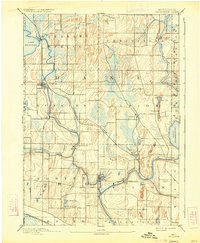
1890 Map of Stoughton
USGS Topo · Published 1934About this map
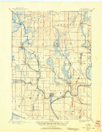
Yahara River meanders south from Lake Kegonsa toward the village of Stoughton, anchoring a landscape defined by its glacial hydrology and early industrial mill sites. This late 19th-century survey captures the region's development during the height of the tobacco-growing era, showing the established rail corridor of the Chicago Milwaukee and St Paul Railroad connecting Dunkirk and Edgerton. To the west, the village of Cooksville sits along Waukoma Creek, while the southeastern corner is dominated by the sprawling shoreline of Lake Koshkonong. Smaller settlements like Stebbinsville and Fulton mark where local power was harnessed at river bends, and the rural landscape is divided into the geometric townships of Pleasant Spring, Christiana, and Albion. The presence of numerous small lakes like Rice Lake and Sweet Lake illustrates the characteristic kettles and basins left behind in the wake of the ice age.
Find a feature on this map
37 named features on this map. Tap any name to fly to it.
Don’t see what you’re looking for? This feature index may not catch every label — zoom into the map to look around manually.
Map Details
Editions of this 1890 Stoughton Map
6 editions found
Other maps of this area

1889 · Evansville
USGS Topo · 1:62,500

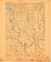
1890 · Madison
USGS Topo · 1:62,500

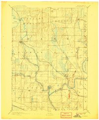
1890 · Sun Prairie
USGS Topo · 1:62,500

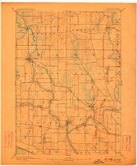
1890 · Stoughton
USGS Topo · 1:62,500

1891 · Waterloo
USGS Topo · 1:62,500

1891 · Koshkonong
USGS Topo · 1:62,500

1891 · Janesville
USGS Topo · 1:62,500

1892 · Madison
USGS Topo · 1:62,500

1893 · Janesville
USGS Topo · 1:62,500

1893 · Brodhead
USGS Topo · 1:62,500