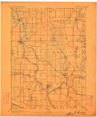
1890 Map of Stoughton
USGS Topo · Published 1910About this map
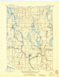
Stoughton and Edgerton serve as the primary hubs in this late-nineteenth-century landscape, connected by the vital artery of the Chicago Milwaukee and St Paul Railroad. The region is defined by its complex glacial hydrology, where the Yahara River flows south from Lake Kegonsa toward its confluence with the Rock River near Fulton. Smaller settlements like Dunkirk, Stebbinsville, and Cooksville are positioned along these waterways, reflecting a period when water power and early rail access dictated local growth. To the east, the sprawling waters of Lake Koshkonong and a series of smaller basins, including Rice Lake and Sweet Lake, dominate the terrain. Topographer I.M. Buell meticulously recorded the marshlands and elevation changes that characterized Dane and northern Rock counties before modern drainage and development altered the natural wetlands.
Find a feature on this map
39 named features on this map. Tap any name to fly to it.
Don’t see what you’re looking for? This feature index may not catch every label — zoom into the map to look around manually.
Map Details
Editions of this 1890 Stoughton Map
6 editions found
Other maps of this area

1889 · Evansville
USGS Topo · 1:62,500

1890 · Madison
USGS Topo · 1:62,500

1890 · Sun Prairie
USGS Topo · 1:62,500

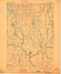
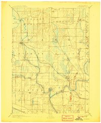
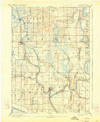
1890 · Stoughton
USGS Topo · 1:62,500

1891 · Waterloo
USGS Topo · 1:62,500

1891 · Koshkonong
USGS Topo · 1:62,500

1891 · Janesville
USGS Topo · 1:62,500

1892 · Madison
USGS Topo · 1:62,500

1893 · Janesville
USGS Topo · 1:62,500

1893 · Brodhead
USGS Topo · 1:62,500