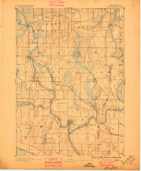
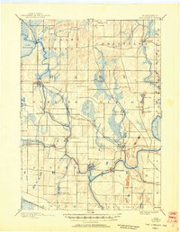
1890 Map of Stoughton
USGS Topo · Published 1896About this map
The Yahara River winds through this late nineteenth-century landscape, connecting the waters of Lake Kegonsa to the sprawling wetlands of the southeast. As surveyed by I.M. Buell, the region shows a dense network of farming townships including Pleasant Spring and Christiana. The primary corridor of trade and transport is defined by the Chicago Milwaukee and St Paul Railroad, which links the growing hub of Stoughton with Edgerton and the milling village of Dunkirk.
Find a feature on this map
40 named features on this map. Tap any name to fly to it.
Don’t see what you’re looking for? This feature index may not catch every label — zoom into the map to look around manually.
Map Details
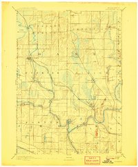
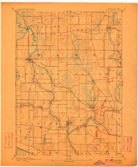
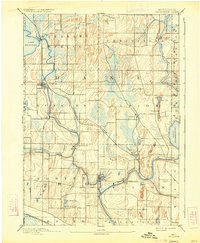
Editions of this 1890 Stoughton Map
6 editions found
Other maps of this area

1889 · Evansville
USGS Topo · 1:62,500

1890 · Madison
USGS Topo · 1:62,500

1890 · Sun Prairie
USGS Topo · 1:62,500

1890 · Stoughton
USGS Topo · 1:62,500

1891 · Waterloo
USGS Topo · 1:62,500

1891 · Koshkonong
USGS Topo · 1:62,500

1891 · Janesville
USGS Topo · 1:62,500

1892 · Madison
USGS Topo · 1:62,500

1893 · Janesville
USGS Topo · 1:62,500

1893 · Brodhead
USGS Topo · 1:62,500