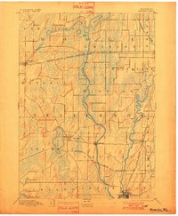
1891 Map of Waterloo
USGS Topo · Published 1891About this map
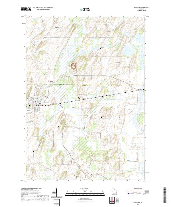
Glacial drumlins and extensive wetlands define the terrain of Jefferson County in the late nineteenth century, as documented by surveyors I.M. Buell and Van. H. Manning, Jr.. The Crawfish River and Rock River meander through the landscape, dictating the placement of early settlements like Aztalan and Johnson Creek. Significant water bodies such as Rock Lake, adjacent to Lake Mills, are captured before modern shoreline developments, providing a clear view of the natural hydrology of the era.
Find a feature on this map
24 named features on this map. Tap any name to fly to it.
Don’t see what you’re looking for? This feature index may not catch every label — zoom into the map to look around manually.
Map Details
Editions of this 1891 Waterloo Map
This is the sole edition of this map. No revisions or reprints were ever made.
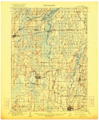
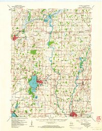
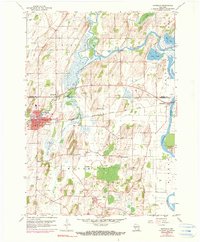
Historical Maps of Watertown Through Time
6 maps found