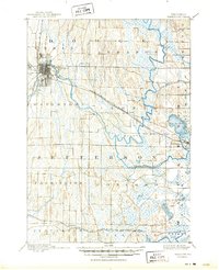
1892 Map of Watertown
USGS Topo · Published 1892About this map
Watertown stands as the primary hub of this 1889 survey, where the Rock River snakes through a landscape defined by glacial drumlins and wet lowlands. The rail-centered economy of the late nineteenth century is clearly visible in the path of the Chicago Milwaukee and St Paul Railroad La Crosse Division, which cuts diagonally across the terrain through the village of Ixonia. Smaller settlements like Pipersville and Concord serve as local anchors along the riverbanks and early road networks.
Find a feature on this map
27 named features on this map. Tap any name to fly to it.
Don’t see what you’re looking for? This feature index may not catch every label — zoom into the map to look around manually.
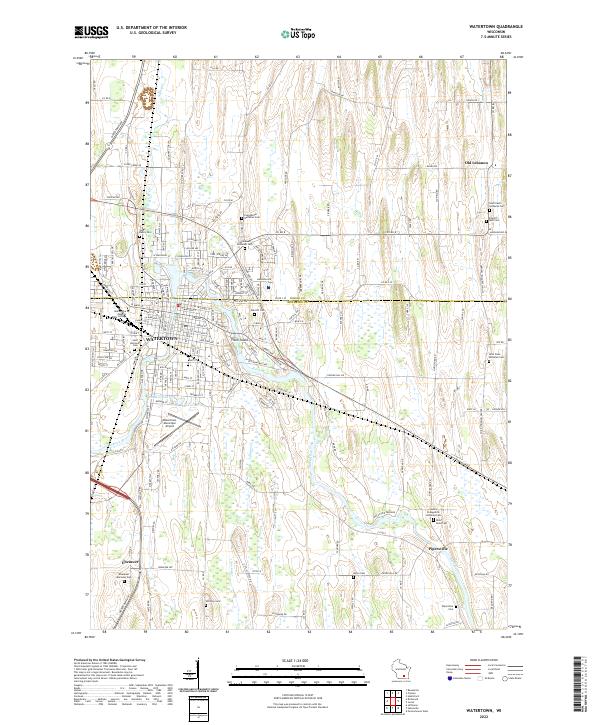
Map Details
Editions of this 1892 Watertown Map
This is the sole edition of this map. No revisions or reprints were ever made.
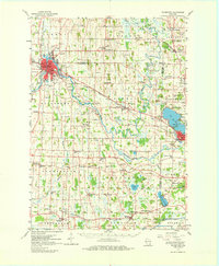
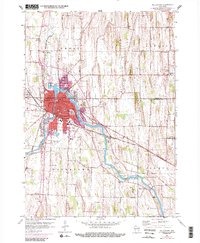
Historical Maps of Watertown Through Time
5 maps found