
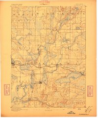
1892 Map of Oconomowoc
USGS Topo · Published 1892About this map
The glacial lakes of Waukesha County dominate this late nineteenth-century landscape, appearing as a dense cluster of water bodies connected by the Oconomowoc River and Bark River. The settlement pattern follows both the natural shoreline and the industrial expansion of the Chicago Milwaukee and St. Paul Railroad, which links lakeside communities like Pewaukee, Hartland, and Okauchee.
Find a feature on this map
59 named features on this map. Tap any name to fly to it.
Don’t see what you’re looking for? This feature index may not catch every label — zoom into the map to look around manually.
Map Details
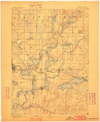
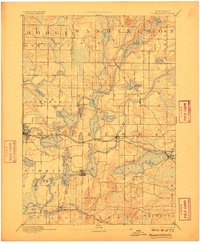
Editions of this 1892 Oconomowoc Map
4 editions found
Other maps of this area

1891 · Muskego
USGS Topo · 1:62,500

1892 · Waukesha
USGS Topo · 1:62,500

1892 · Watertown
USGS Topo · 1:62,500

1892 · Whitewater
USGS Topo · 1:62,500

1892 · Eagle
USGS Topo · 1:62,500

1893 · Whitewater
USGS Topo · 1:62,500

1894 · Watertown
USGS Topo · 1:62,500

1894 · Eagle
USGS Topo · 1:62,500

1897 · Eagle
USGS Topo · 1:62,500

1901 · Waukesha
USGS Topo · 1:62,500