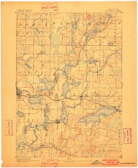
1892 Map of Oconomowoc
USGS Topo · Published 1902About this map
Oconomowoc and its surrounding lake country are captured here at the end of the nineteenth century, showing a landscape defined by glacial waters and early rail expansion. The Chicago Milwaukee and St. Paul Railroad serves as a central artery, connecting established lakeside communities like Nashotah, Hartland, and Pewaukee. While the northern reaches of the map near Holy Hill remain less developed, the central chain of lakes including Okauchee Lake, Pine Lake, and Nagawicka Lake shows a dense pattern of roads and settlement.
Find a feature on this map
54 named features on this map. Tap any name to fly to it.
Don’t see what you’re looking for? This feature index may not catch every label — zoom into the map to look around manually.
Map Details
Editions of this 1892 Oconomowoc Map
4 editions found
Other maps of this area

1891 · Muskego
USGS Topo · 1:62,500

1892 · Waukesha
USGS Topo · 1:62,500

1892 · Watertown
USGS Topo · 1:62,500

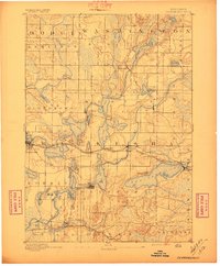
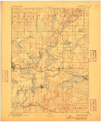
1892 · Oconomowoc
USGS Topo · 1:62,500

1892 · Whitewater
USGS Topo · 1:62,500

1892 · Eagle
USGS Topo · 1:62,500

1893 · Whitewater
USGS Topo · 1:62,500

1894 · Watertown
USGS Topo · 1:62,500

1894 · Eagle
USGS Topo · 1:62,500

1897 · Eagle
USGS Topo · 1:62,500