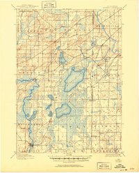
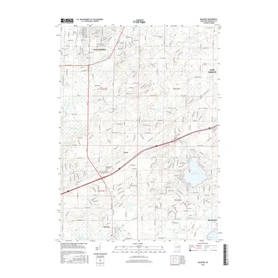
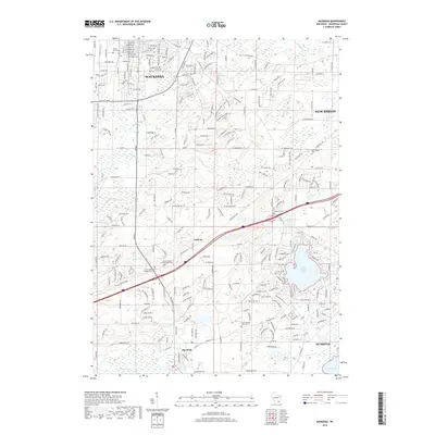
1891 Map of Muskego
USGS Topo · Published 1896About this map
Muskego Lake and Wind Lake dominate this 1890 survey of the borderlands where Waukesha, Milwaukee, and Racine counties meet. The landscape is defined by its post-glacial hydrology, with the Fox River winding through the western townships of Vernon and Waterford. At this time, the region was primarily a network of rural farming townships and scattered crossroads settlements. Early rail infrastructure is represented by the Wisconsin Central Railroad clipping the northwestern corner of the map through New Berlin.
Find a feature on this map
36 named features on this map. Tap any name to fly to it.
Don’t see what you’re looking for? This feature index may not catch every label — zoom into the map to look around manually.
Map Details
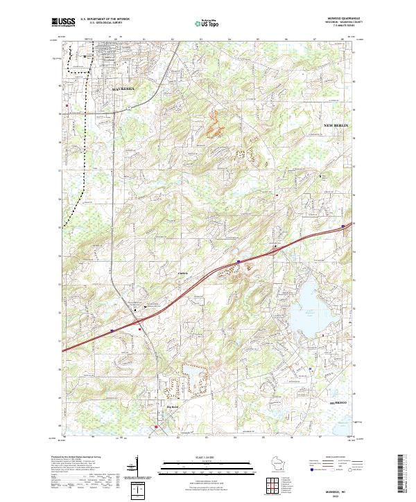
Editions of this 1891 Muskego Map
This is the sole edition of this map. No revisions or reprints were ever made.
Historical Maps of Milwaukee Through Time
8 maps found