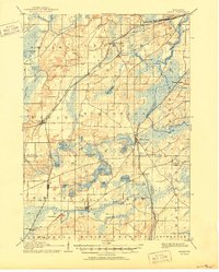
1892 Map of Eagle
USGS Topo · Published 1892About this map
Glacial topography defines this corner of Wisconsin, where a cluster of kettle lakes and sprawling wetlands transition into the fertile plains of Waukesha and Walworth counties. The landscape in the late 1880s is heavily influenced by the expansion of the rail network, which established vital depots at Genesee Depot and North Prairie. The Chicago Milwaukee and St. Paul Railroad Prairie Du Chien Division cuts a diagonal path through Eagle, connecting these rural outposts to the broader regional economy.
Find a feature on this map
36 named features on this map. Tap any name to fly to it.
Don’t see what you’re looking for? This feature index may not catch every label — zoom into the map to look around manually.
Map Details
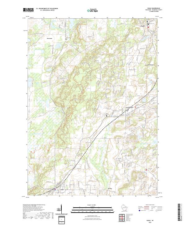
Editions of this 1892 Eagle Map
This is the sole edition of this map. No revisions or reprints were ever made.
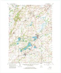
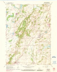
Historical Maps of Waukesha Through Time
7 maps found