
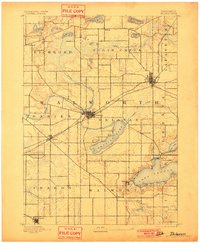
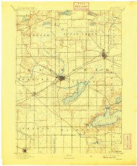
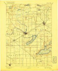
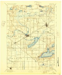
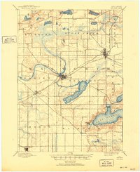
1893 Map of Delavan
USGS Topo · Published 1893About this map
Delavan Lake and the western reaches of Lake Geneva anchor this 1890s survey of Walworth County, capturing the region's transition from a collection of isolated farmsteads to a connected resort and agricultural hub. The township grids are firmly established, yet the landscape remains dominated by glacial features, including the sprawling marshes around Sugar Creek and Turtle Creek. The primary economic engine of the era is clearly visible in the path of the Chicago Milwaukee and St. Paul Railroad, which intersects with the Chicago and Northwestern R. R. to link towns like Elkhorn and Delavan to broader markets. On the shores of Williams Bay, early development is evident near Fontana, while smaller hamlets like Millard, Tibbet, and Fayetteville serve as local crossroads for the surrounding dairy and grain farmers. This map documents the early infrastructure of the lakes region before the modern expansion of summer estates and intensive shoreline development.
Find a feature on this map
38 named features on this map. Tap any name to fly to it.
Don’t see what you’re looking for? This feature index may not catch every label — zoom into the map to look around manually.
Map Details
Editions of this 1893 Delavan Map
6 editions found
Other maps of this area

1891 · Koshkonong
USGS Topo · 1:62,500

1892 · Whitewater
USGS Topo · 1:62,500

1892 · Eagle
USGS Topo · 1:62,500

1893 · Whitewater
USGS Topo · 1:62,500

1893 · Shopiere
USGS Topo · 1:62,500

1893 · Geneva
USGS Topo · 1:62,500

1894 · Eagle
USGS Topo · 1:62,500

1894 · Koshkonong
USGS Topo · 1:62,500

1897 · Eagle
USGS Topo · 1:62,500

1903 · Whitewater
USGS Topo · 1:62,500