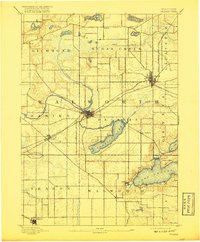
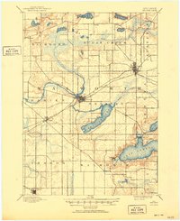
1893 Map of Delavan
USGS Topo · Published 1917About this map
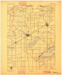
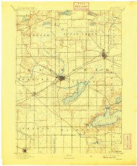
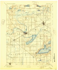
Delavan Lake and the western reaches of Lake Geneva anchor this late nineteenth-century survey of Walworth County, illustrating a landscape defined by glacial hydrology and early rail expansion. The city of Delavan and the county seat of Elkhorn emerge as primary hubs, connected by the Chicago Milwaukee and St. Paul R. R., which cuts diagonally through the townships of Darien and La Fayette. The mapping reveals a pastoral economy reliant on watercourses like Turtle Creek and Sugar Creek, while the burgeoning resort character of the lakes is evident in the burgeoning shorelines of Williams Bay and Fontana. Smaller settlements such as Sharon, Walworth, and Tibbet serve as rural nodes within a strictly gridded section-line road network, providing a clear view of Wisconsin's agricultural and transit development before the modern automotive era.
Find a feature on this map
37 named features on this map. Tap any name to fly to it.
Don’t see what you’re looking for? This feature index may not catch every label — zoom into the map to look around manually.
Map Details
Editions of this 1893 Delavan Map
6 editions found
Other maps of this area

1891 · Koshkonong
USGS Topo · 1:62,500

1892 · Whitewater
USGS Topo · 1:62,500

1892 · Eagle
USGS Topo · 1:62,500

1893 · Delavan
USGS Topo · 1:62,500

1893 · Whitewater
USGS Topo · 1:62,500

1893 · Shopiere
USGS Topo · 1:62,500

1893 · Geneva
USGS Topo · 1:62,500

1894 · Eagle
USGS Topo · 1:62,500

1894 · Koshkonong
USGS Topo · 1:62,500

1897 · Eagle
USGS Topo · 1:62,500