Loading...
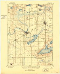
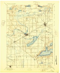
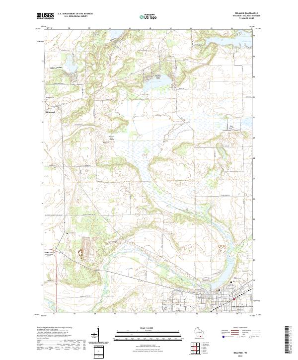
Loading map...1893 Map of Delavan
USGS Topo · Published 1950About this map
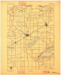
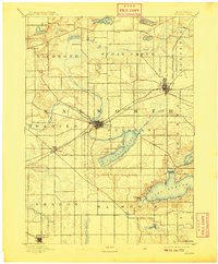
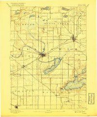
Elkhorn and Delavan serve as the primary hubs in this late-19th-century portrait of Walworth County, where the landscape is defined by the glacial fingerprints of the Wisconsin terrain. The shoreline of Geneva Lake is already becoming a focal point of settlement at Williams Bay and Fontana, while Delavan Lake sits at the heart of the central townships.
Find a feature on this map
36 named features on this map. Tap any name to fly to it.
Don’t see what you’re looking for? This feature index may not catch every label — zoom into the map to look around manually.
Map Details
Date Portrayed1893
Date Published1950
PublisherU.S. Geological Survey
Map TypeTopographic
Scale1:62,500
Physical Dimensions17.32 x 21.19 inches
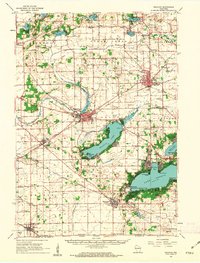
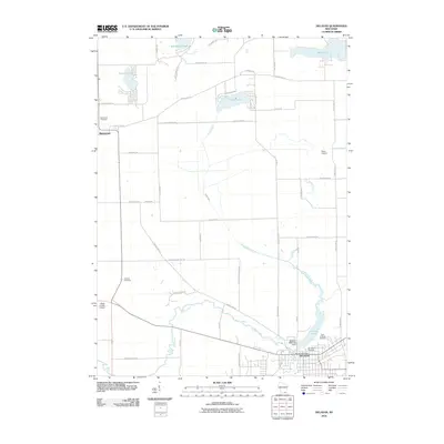
Editions of this 1893 Delavan Map
6 editions found

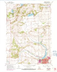
Historical Maps of Elkhorn Through Time
8 maps found
Featured Locations
Source Details
SourceU.S. Geological Survey
CopyrightPublic Domain