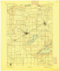
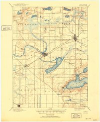
1893 Map of Delavan
USGS Topo · Published 1909About this map
Lake Geneva and Delavan Lake anchor this 1891 survey of Walworth County, capturing a landscape defined by glacial hydrology and the expansion of the regional rail network. The map illustrates a pivotal era for lakeside settlements like Williams Bay and Fontana, which were beginning to evolve from rural outposts into significant destinations. The intricate drainage of Turtle Creek and Sugar Creek carves through the undulating terrain, connecting numerous smaller water bodies such as Turtle Lake and Silver Lake.
Find a feature on this map
37 named features on this map. Tap any name to fly to it.
Don’t see what you’re looking for? This feature index may not catch every label — zoom into the map to look around manually.
Map Details
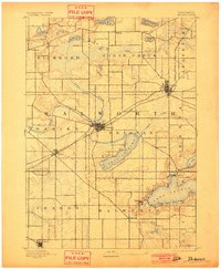
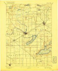
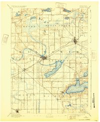
Editions of this 1893 Delavan Map
6 editions found
Other maps of this area

1891 · Koshkonong
USGS Topo · 1:62,500

1892 · Whitewater
USGS Topo · 1:62,500

1892 · Eagle
USGS Topo · 1:62,500

1893 · Delavan
USGS Topo · 1:62,500

1893 · Whitewater
USGS Topo · 1:62,500

1893 · Shopiere
USGS Topo · 1:62,500

1893 · Geneva
USGS Topo · 1:62,500

1894 · Eagle
USGS Topo · 1:62,500

1894 · Koshkonong
USGS Topo · 1:62,500

1897 · Eagle
USGS Topo · 1:62,500