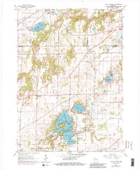
1893 Map of Geneva
USGS Topo · Published 1893About this map
The growing town of Geneva and the sprawling waters of Lake Geneva dominate this late-nineteenth-century landscape of southeastern Wisconsin. A dense network of railways converges in the region, including the Chicago and Northwestern Railroad and the Wisconsin Central Railroad, illustrating the area's importance as a transportation hub for both agriculture and nascent tourism. The White River and Fox River wind through the eastern townships, supporting established settlements like Burlington. Smaller, specialized locations such as Twin Lake Station and Genoa Junction suggest the localized commerce of the era. The mapping shows a distinct transition from the marshy lowlands near Lake Como to the higher elevations of Spring Prairie, where small creeks like Honey Creek and Sugar Creek carve through the glacial terrain of Walworth County.
Find a feature on this map
38 named features on this map. Tap any name to fly to it.
Don’t see what you’re looking for? This feature index may not catch every label — zoom into the map to look around manually.
Map Details
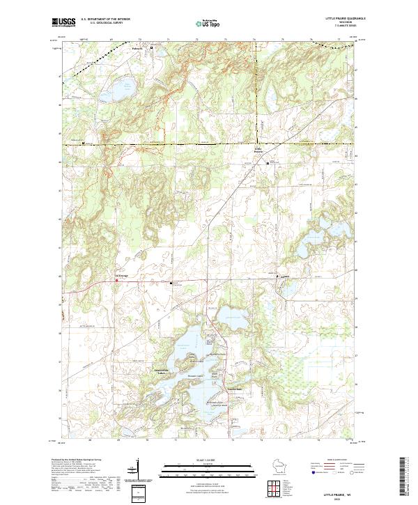
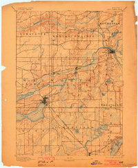
Editions of this 1893 Geneva Map
2 editions found
Historical Maps of Burlington Through Time
3 maps found