Old Maps of City of Pewaukee, Wisconsin
Explore 23 old maps of City of Pewaukee, spanning from 1892 to today. These high-resolution historic maps reveal how streets, neighborhoods, landmarks, and natural features evolved over time — perfect for genealogy, metal detecting, research, and local history exploration.
What you can do with these maps:
- See how City of Pewaukee changed over time: Compare historical maps to modern-day views to trace roads, homesites, rail lines & more.
- View detailed metadata: Each map includes creators, publishers, year, scale, and archive source.
- Overlay maps with satellite & LiDAR: Visualize the past alongside modern tools to explore terrain & human change.
- Trusted historical sources: Maps sourced from the USGS, Library of Congress, and other archives.
- Access maps your way: View online, download high-res files, or order prints for personal or research use.
Start exploring old maps of City of Pewaukee to uncover forgotten places, hidden landmarks, and the deep history beneath your feet.
City of Pewaukee, WI maps
(23)- 1892 Map of Waukesha
 1892 Waukesha1892 Print · USGSSoutheast Wisconsin in the 1890s was a critical junction of rail lines and river valleys connecting small industrial settlements. Trace the early development of Waukesha and Wauwatosa before suburban expansion, or locate vanished stops like Templeton and Brookfield Junction.
 - 1892 Map of Oconomowoc
 1892 Oconomowoc1892 Print · USGSWaukesha County's lake country is captured in the early 1890s, revealing a landscape defined by glacial waters and nascent rail lines. Researchers can trace the early development of Delafield and Hartland or locate old stops like Lakeside Station and Giffords.4 unique versions available
 - 1901 Map of Waukesha
 1901 Waukesha1901 Print · USGSSoutheastern Wisconsin at the turn of the century shows a landscape transitioning from rural townships to a complex rail-linked corridor. Genealogists and historians can trace the exact locations of early communities like Freistadt, Fussville, and Brookfield P.O. along the Menomonee River.
 - 1906 Map of Waukesha
 1906 Waukesha1906 Print · USGSWaukesha and the Milwaukee outskirts thrive at the turn of the century during a height of rail connectivity. Genealogists can trace family footprints in early settlements like Freistadt, Lannon, and the neighborhoods of Wauwatosa.4 unique versions available
 - 1909 Map of Oconomowoc
 1909 Oconomowoc1909 Print · USGSThe Lake Country of Waukesha County is captured here at the height of its early resort era. You can trace family roots in Oconomowoc, locate the historic Nashotah Mission, and find long-lost stops like Waukesha Beach and Lakeside Sta.6 unique versions available
 - 1957 Map of Madison, 1967 Print
 1957 Madison1967 Print · USGSSouth-central Wisconsin in the mid-fifties reveals a landscape of industrial hubs and glacial lakes linked by a dense rail and highway network. Genealogists and historians can trace the development of lakeside communities and find notable sites like Badger Ordnance Works and the Horicon National Wildlife Refuge.3 unique versions available
 - 1959 Map of Hartland, 1961 Print
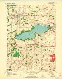 1959 Hartland1961 Print · USGSWaukesha County during the late fifties shows a landscape of glacial lakes and growing lakeside communities. Genealogists and local historians can trace family-named schools and rural parishes like Zion Sch, Bark River Cem, and Little Tabernacle Ch.4 unique versions available
 - 1959 Map of Waukesha, 1961 Print
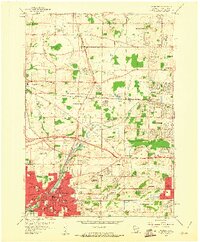 1959 Waukesha1961 Print · USGSMid-century Waukesha and Brookfield are caught in a moment of transition from rural dairy and quarry land to suburban hubs. Genealogists and historians can locate family landmarks like Rose Hill Cemetery or trace institutional roots at Carroll College and the Wisconsin Industrial School.5 unique versions available
 - 1959 Map of Hartland, 1961 Print
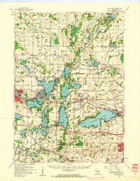 1959 Hartland1961 Print · USGSWaukesha County at the close of the 1950s shows a landscape defined by glacial lakes and a maturing rail network. Genealogists and historians can trace old community hubs like Stonebank and Merton, identifying local landmarks from St Olaf Ch to University Lake Sch.
 - 1959 Map of Waukesha, 1961 Print
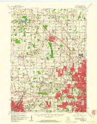 1959 Waukesha1961 Print · USGSSoutheast Wisconsin was undergoing a massive suburban transformation in the late fifties as Milwaukee expanded west. Trace the growth of post-war neighborhoods and infrastructure near Goerkes Corner, Timmerman Airport, and the Lannon limestone Quarries.3 unique versions available
 - 1960 Map of Madison
 1960 Madison1960 Print · USGSCentral and Southern Wisconsin are captured in the late fifties, showing the region as its rail-and-river network matured. Trace the paths of the Soo Line RR or locate family roots near Lake Mendota and Horicon National Wildlife Refuge.2 unique versions available
 - 1984 Map of Oconomowoc, 1985 Print
 1984 Oconomowoc1985 Print · USGSSoutheast Wisconsin in the mid-eighties shows a landscape defined by its glacial heritage and expanding metropolitan corridors. Genealogists and historians can trace the development of lakeside communities like Oconomowoc and Pewaukee, or find established settlements such as Watertown and Beaver Dam.
 - 1991 Map of Oconomowoc
 1991 Oconomowoc1991 Print · USGSSoutheastern Wisconsin in the early nineties shows a landscape of glacial lakes and growing suburbs. Trace local history through Aztalan State Park, Carroll College, and the sprawling Horicon Marsh State Wildlife Area.
 - 2010 Map of Waukesha, 2010 Print
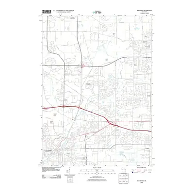 2010 Waukesha2010 Print · USGSWaukesha and its neighboring settlements are shown in this 2010 survey during a period of significant suburban growth and infrastructure development. Genealogists and local historians can trace legacy sites like the Saratoga Mill Dam, Duplainville, and Saint Joseph Cemetery.
 - 2010 Map of Hartland, 2010 Print
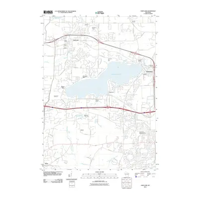 2010 Hartland2010 Print · USGSWaukesha County at the turn of the decade shows a landscape where historic lakeside communities have grown into a suburban corridor. Researchers can trace local heritage through Tabernacle Cemetery, the Pewaukee Post Office, and the Bark River drainage.
 - 2013 Map of Hartland, 2013 Print
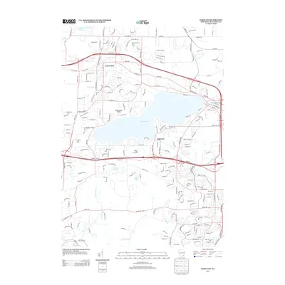 2013 Hartland2013 Print · USGSThe Lake Country region of Waukesha County is shown here in its modern era, shaped by glacial waters and suburban expansion. Genealogists and local historians can trace the development of residential neighborhoods around Pewaukee Lake, the Bark River corridor, and the historic village of Hartland.
 - 2013 Map of Waukesha, 2013 Print
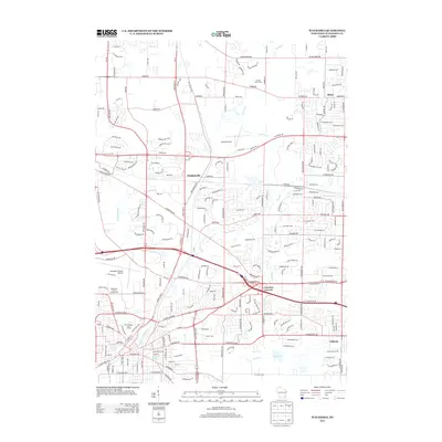 2013 Waukesha2013 Print · USGSWaukesha and its surrounding townships appear during a period of significant suburban expansion in the early twenty-first century. Researchers can trace local landmarks like Silurian Spring, the Waukesha County Fairgrounds, and the historic crossroad at Goerkes Corner.
 - 2015 Map of Hartland, 2015 Print
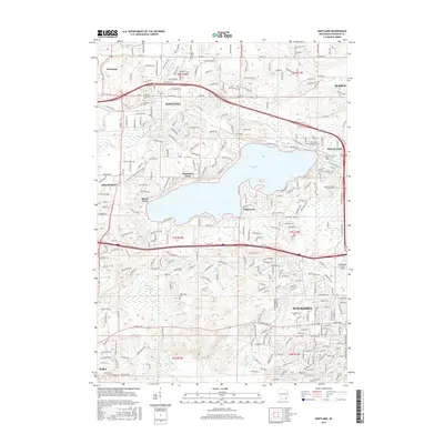 2015 Hartland2015 Print · USGSWaukesha County at the start of the twenty-first century reveals a landscape of growing suburban centers and preserved glacial features. Researchers can trace local heritage through sites like Tabernacle Cemetery, the Ice Age National Scenic Trail, and the shores of Pewaukee Lake.
 - 2015 Map of Waukesha, 2015 Print
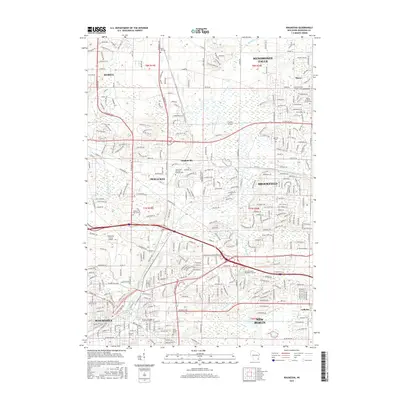 2015 Waukesha2015 Print · USGSWaukesha and its surrounding townships show a landscape of suburban growth and institutional centers in the mid-2010s. Genealogists and local historians can trace legacy sites like Rose Hill Cemetery and the campus of Carroll University.
 - 2018 Map of Waukesha, 2018 Print
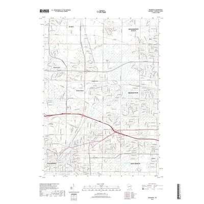 2018 Waukesha2018 Print · USGSWaukesha County's burgeoning suburban corridor is captured here in the late 2010s as it links several growing townships. Researchers can trace local heritage through sites like Duplainville, Rose Hill Cem, and Waukesha County Airport.
 - 2018 Map of Hartland, 2018 Print
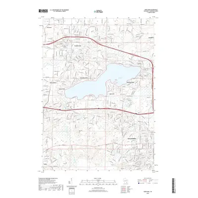 2018 Hartland2018 Print · USGSWaukesha County transitions from lakeside communities to suburban stretches in the late 2010s. Genealogists and historians can trace family plots at Tabernacle Cemetery or navigate the shorelines of Pewaukee Lake and Etter Lake.
 - 2022 Map of Waukesha, 2022 Print
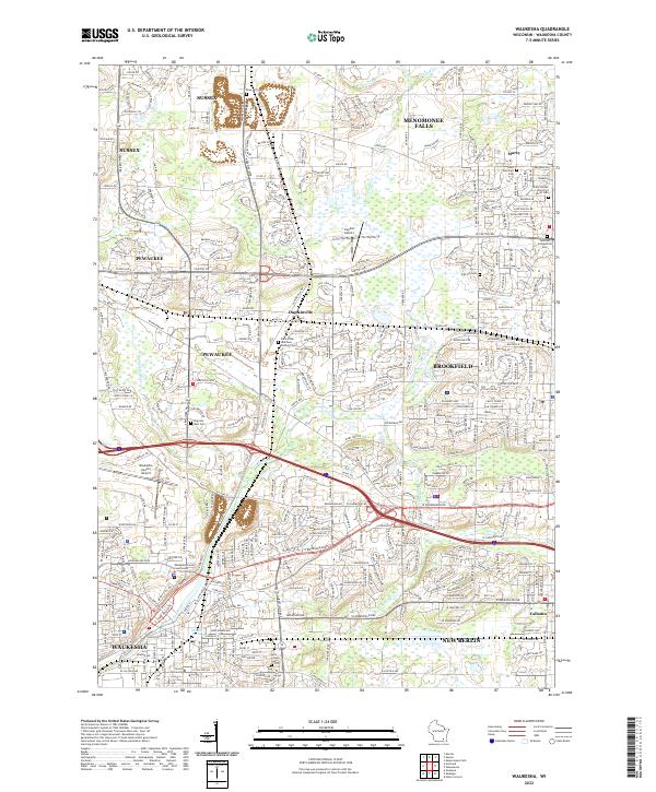 2022 Waukesha2022 Print · USGSSoutheast Wisconsin's suburban and industrial core is shown here as it appears in the early 2020s, centering on the city of Waukesha. Genealogists and researchers can trace local roots through numerous sites like Carroll University, Oak Hill Cem, and Saint Dominics Cem.
 - 2022 Map of Hartland, 2022 Print
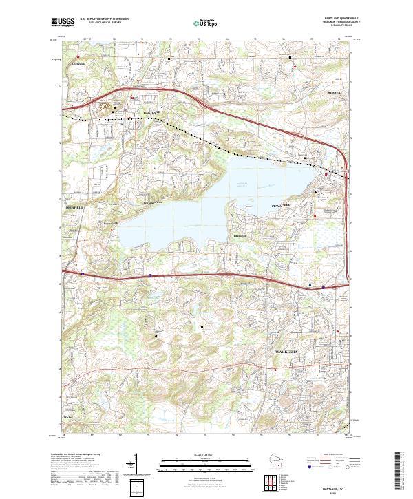 2022 Hartland2022 Print · USGSWaukesha County at the start of the 2020s shows a landscape of established lakeside communities and modern infrastructure. Researchers can locate numerous local burial sites like Tabernacle Cem and Schoenstatt Cem or trace the developed shores of Pewaukee Lake.
End of results
Showing maps 1-23 of 23
Top cities near City of Pewaukee
- Milwaukee historical maps
- Waukesha historical maps
- West Allis historical maps
- Wauwatosa historical maps
- Brookfield historical maps
- New Berlin historical maps
See more
Top neighborhoods of City of Pewaukee
- Duplainville historical maps
- Edgewood historical maps
- Edgewood Farms historical maps
- Palomino Pointe historical maps
- Rocky Point historical maps
- The Orchards of Pewaukee historical maps
See more
Frequently asked questions
- What are the different types of historical maps available for City of Pewaukee?
- What is the oldest map of City of Pewaukee?
- Where can I purchase historical maps of City of Pewaukee for my home or office?
- Where can I download high-res historical maps of City of Pewaukee?
- Are there historical topographic maps available for City of Pewaukee?
- Is there historical aerial imagery available for City of Pewaukee?
- Where are historical maps of City of Pewaukee sourced from?