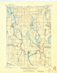
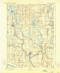
1890 Map of Stoughton
USGS Topo · Published 1950About this map
The Yahara River winds through the heart of this late-19th-century landscape, connecting Lake Kegonsa to the sprawling Lake Koshkonong to the southeast. At this time, the region is defined by a dense network of small agricultural hubs and milling sites established along the waterways, including Dunkirk, Stebbinsville, and Fulton. The arrival of the Chicago Milwaukee and St Paul Railroad has clearly transformed the area, fueling the growth of Stoughton and Edgerton as significant transit points for local trade. While the north is marked by the glacial topography of Pleasant Springs and Christiana, the southern portion follows the wide bend of the Rock River. Genealogists will find interest in the distinct boundaries of townships like Albion and Rutland, as well as established settlements such as Rockdale and Cooksville that anchored these rural communities.
Find a feature on this map
41 named features on this map. Tap any name to fly to it.
Don’t see what you’re looking for? This feature index may not catch every label — zoom into the map to look around manually.
Map Details
Editions of this 1890 Stoughton Map
6 editions found
Other maps of this area

1889 · Evansville
USGS Topo · 1:62,500

1890 · Madison
USGS Topo · 1:62,500

1890 · Sun Prairie
USGS Topo · 1:62,500

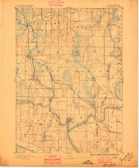
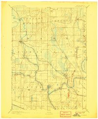
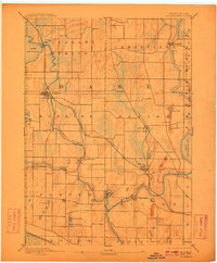
1890 · Stoughton
USGS Topo · 1:62,500

1891 · Waterloo
USGS Topo · 1:62,500

1891 · Koshkonong
USGS Topo · 1:62,500

1891 · Janesville
USGS Topo · 1:62,500

1892 · Madison
USGS Topo · 1:62,500

1893 · Janesville
USGS Topo · 1:62,500

1893 · Brodhead
USGS Topo · 1:62,500