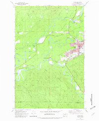
1981 Map of Forks
USGS Topo · Published 1982About this map
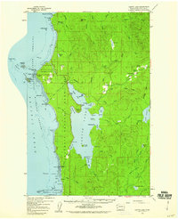
The Soleduck River, Calawah River, and Bogachiel River converge in this Olympic Peninsula landscape, centering on the settlement of Forks. By the early 1980s, the town appears as a concentrated hub of local services, featuring the Community Hosp, High Sch, and the Municipal Airport situated on the Forks Prairie. The riverbanks show clear evidence of natural resource management and recreation, from the Bogachiel State Fish Hatchery and several Boat Ramps to the numerous Gravel Pits that supported local industry.
Find a feature on this map
50 named features on this map. Tap any name to fly to it.
Don’t see what you’re looking for? This feature index may not catch every label — zoom into the map to look around manually.
Map Details
Editions of this 1981 Forks Map
This is the sole edition of this map. No revisions or reprints were ever made.
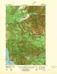
Other maps of this area

1935 · Ozette Lake
USGS Topo · 1:62,500

1935 · Lake Pleasant
USGS Topo · 1:62,500
1939 · Forks
USGS Topo · 1:62,500

1942 · Ozette Lake
USGS Topo · 1:62,500

1942 · Lake Pleasant
USGS Topo · 1:62,500

1943 · Copalis Beach
USGS Topo · 1:250,000

1951 · Copalis Beach
USGS Topo · 1:250,000
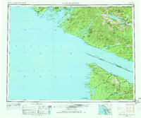
1953 · Cape Flattery
USGS Topo · 1:250,000
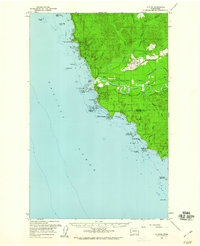
1956 · La Push
USGS Topo · 1:62,500
1956 · Ozette Lake
USGS Topo · 1:62,500