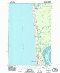
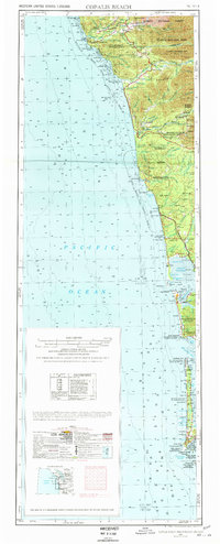
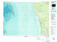
1943 Map of Copalis Beach
USGS Topo · Published 1943About this map
The North Pacific Ocean coastline defines this mid-century survey, stretching from the rugged headlands of the Olympic Peninsula down to the mouth of the Columbia River. The map reveals a landscape dominated by federal and tribal lands, including the Olympic National Park, Quinault Indian Reservation, and the Quillayute Indian Reservation. Inland, the terrain is shaped by numerous river systems like the Hoh River, Queets River, and Quinault River, while the southern reaches showcase the intricate geography of Grays Harbor and Willapa Bay.
Find a feature on this map
88 named features on this map. Tap any name to fly to it.
Don’t see what you’re looking for? This feature index may not catch every label — zoom into the map to look around manually.
Map Details
Editions of this 1943 Copalis Beach Map
This is the sole edition of this map. No revisions or reprints were ever made.
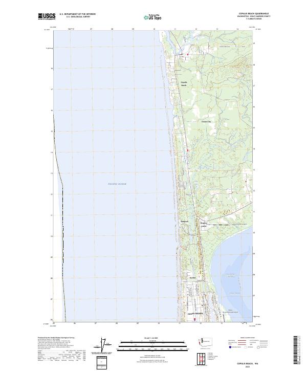
Historical Maps of Ocean Shores Through Time
7 maps found