
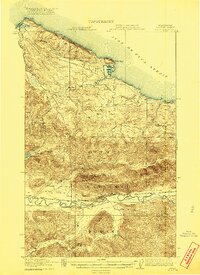
1922 Map of Pysht
USGS Topo · Published 1922About this map
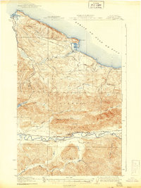
Pysht and the settlement at Clallam Bay serve as the primary coastal outposts in this 1918 survey of the northern Olympic Peninsula. The landscape is defined by the early industrial timber economy, with several segments of a Logging R. R. winding through the hills near Pillar Point and along the Jim Creek drainage. These rail lines illustrate the intensive logging operations pushing inland from the Juan de Fuca Strait into the dense timberlands of what would become the Olympic National Forest.
Find a feature on this map
26 named features on this map. Tap any name to fly to it.
Don’t see what you’re looking for? This feature index may not catch every label — zoom into the map to look around manually.
Map Details
Editions of this 1922 Pysht Map
3 editions found
Other maps of this area

1918 · Lake Crescent
USGS Topo · 1:62,500

1922 · Lake Crescent
USGS Topo · 1:62,500

1935 · Clallam
USGS Topo · 1:62,500

1935 · Lake Pleasant
USGS Topo · 1:62,500

1939 · Forks
USGS Topo · 1:62,500

1939 · Mount Tom
USGS Topo · 1:62,500

1942 · Pysht
USGS Topo · 1:62,500

1942 · Clallam
USGS Topo · 1:62,500

1942 · Lake Pleasant
USGS Topo · 1:62,500

1943 · Spruce Mountain
USGS Topo · 1:62,500