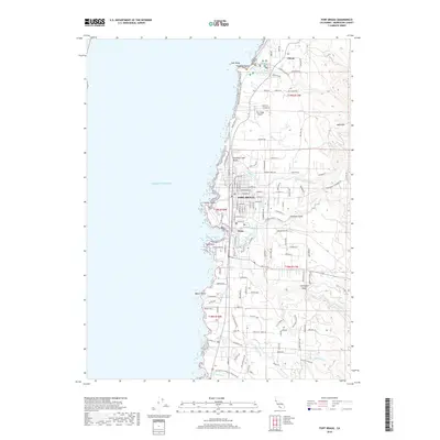
2018 Map of Fort Bragg
USGS Topo · Published 2018About this map
The coastal town of Fort Bragg dominates this Mendocino County coastline, situated where the Noyo River meets the Pacific Ocean. This 2018 survey documents a landscape defined by its timber and maritime heritage, visible in features like the Georgia-Pacific Haul Rd and the Noyo River Cem. Further north, the settlement of Cleone sits near the preserved dunes of Mackerricher State Park, which encompasses Laguna Lake and several prominent shore landmarks like Laguna Point.
Find a feature on this map
79 named features on this map. Tap any name to fly to it.
Don’t see what you’re looking for? This feature index may not catch every label — zoom into the map to look around manually.
Map Details
Editions of this 2018 Fort Bragg Map
This is the sole edition of this map. No revisions or reprints were ever made.
Other maps of this area

1920 · Glenblair
USGS Topo · 1:62,500

1920 · Fort Bragg
USGS Topo · 1:62,500

1921 · Westport
USGS Topo · 1:62,500

1921 · Branscomb
USGS Topo · 1:62,500

1943 · Glenblair
USGS Topo · 1:62,500

1943 · Fort Bragg
USGS Topo · 1:62,500

1950 · Cape Vizcaino
USGS Topo · 1:62,500

1951 · Cape Vizcaino
USGS Topo · 1:62,500

1951 · Branscomb
USGS Topo · 1:62,500

1957 · Ukiah
USGS Topo · 1:250,000