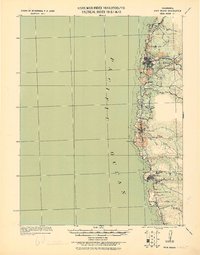
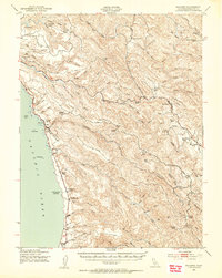
1920 Map of Fort Bragg
USGS Topo · Published 1928About this map
Fort Bragg stands as the primary hub of this Mendocino County coastline, which was surveyed by Col. Chas. L. Potter and his Corps of Engineers party just before the end of the First World War. The map illustrates a landscape defined by its timber and maritime heritage, where the Cal Western R R & Nav Co railroad tracks wind inland alongside Pudding Creek and a notable tunnel. Coastal settlements like Caspar, Mendocino, and Noyo are linked by rugged roads that cross numerous waterways including the Noyo River and Big River.
Find a feature on this map
20 named features on this map. Tap any name to fly to it.
Don’t see what you’re looking for? This feature index may not catch every label — zoom into the map to look around manually.
Map Details
Editions of this 1920 Fort Bragg Map
This is the sole edition of this map. No revisions or reprints were ever made.
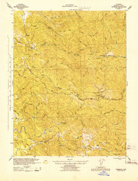
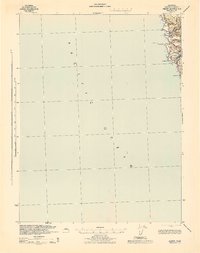
Other maps of this area

1920 · Glenblair
USGS Topo · 1:62,500

1921 · Westport
USGS Topo · 1:62,500

1921 · Branscomb
USGS Topo · 1:62,500
1943 · Glenblair
USGS Topo · 1:62,500
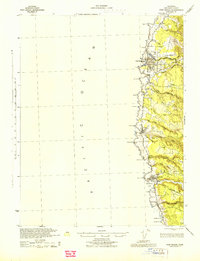
1943 · Fort Bragg
USGS Topo · 1:62,500
1943 · Albion
USGS Topo · 1:62,500
1943 · Navarro
USGS Topo · 1:62,500

1944 · Saddle Point
USGS Topo · 1:62,500
1950 · Cape Vizcaino
USGS Topo · 1:62,500

1951 · Cape Vizcaino
USGS Topo · 1:62,500