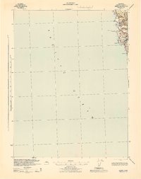
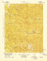
1943 Map of Albion
USGS Topo · Published 1943About this map
The coastal settlement of Albion and the surrounding Mendocino County shoreline are depicted here during the mid-war years. The landscape is defined by the sharp transition from the Pacific Ocean to the interior ridge systems, where the Navarro River meets the sea. This 1943 survey shows the transportation network of the era, including the Navarro Ridge Road and Navarro Rd, which provided essential access across the drainage of Salmon Cr. For those studying local history, the map identifies small residential clusters like Handley and prominent coastal landmarks such as Salmon Pt and Saddle Pt. The inclusion of survey control points like Navarro E Base and Navarro W Base 2 underscores the military engineering efforts involved in mapping this strategic section of the California coast during the 1940s.
Find a feature on this map
14 named features on this map. Tap any name to fly to it.
Don’t see what you’re looking for? This feature index may not catch every label — zoom into the map to look around manually.
Map Details
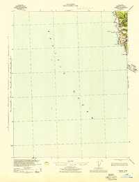
Editions of this 1943 Albion Map
2 editions found
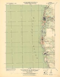
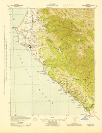
Other maps of this area

1920 · Glenblair
USGS Topo · 1:62,500
1920 · Fort Bragg
USGS Topo · 1:62,500
1943 · Point Arena
USGS Topo · 1:62,500
1943 · Glenblair
USGS Topo · 1:62,500
1943 · Fort Bragg
USGS Topo · 1:62,500
1943 · Navarro
USGS Topo · 1:62,500

1944 · Saddle Point
USGS Topo · 1:62,500

1947 · Santa Rosa
USGS Topo · 1:250,000

1949 · Santa Rosa
USGS Topo · 1:250,000

1957 · Ukiah
USGS Topo · 1:250,000