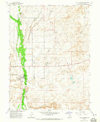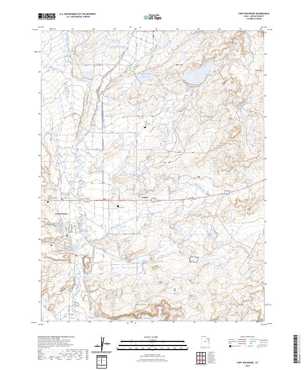
2023 Map of Fort Duchesne
USGS Topo · Published 2023About this map
Fort Duchesne anchors this section of Uintah County, where the desert landscape is defined by an intricate network of irrigation and water management systems. The hydrology of the area is centered on the Uinta River, which splits into the East Channel Uinta River and West Channel Uinta River. Man-made efforts to harness this water are evident in the sprawling reaches of the Ouray Park Canal, Moffat Canal, and the Ouray Valley Canal, which feed agricultural interests across the arid terrain. To the north, the Bullock Draw Reservoir provides a significant water cache, while the southern landscape is marked by the distinct elevation of Randlett Butte. For those studying the community history of the region, the map identifies local burial sites including the Fort Duchesne Cem, Gusher Cem, and the Uintah and Ouray Indian Cem, reflecting the area's complex cultural heritage. Small clusters of habitation like Gusher sit along the primary transport corridors, while Bottle Hollow and Sand Wash highlight the natural geological features that break up the plateau.
Find a feature on this map
27 named features on this map. Tap any name to fly to it.
Don’t see what you’re looking for? This feature index may not catch every label — zoom into the map to look around manually.
Map Details
Editions of this 2023 Fort Duchesne Map
This is the sole edition of this map. No revisions or reprints were ever made.