2024 Map of Fort Hall
USGS Topo · Published 2024About this map
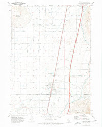
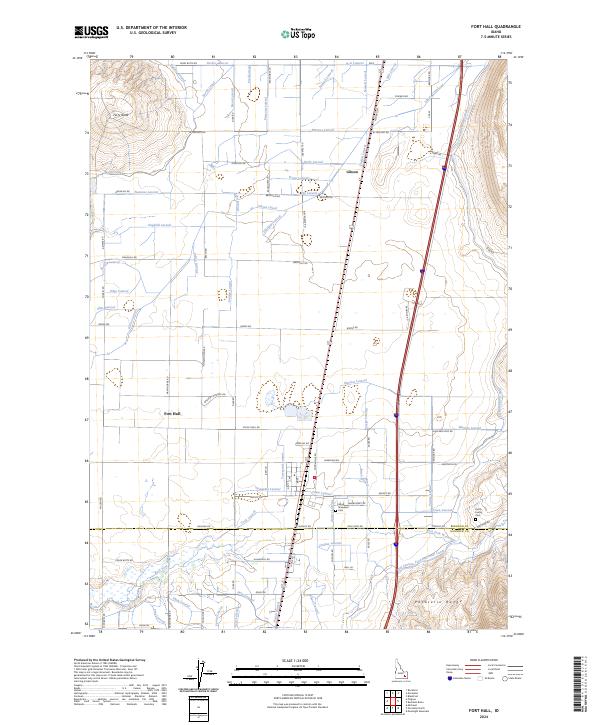
Fort Hall and the nearby settlement of Gibson sit at the center of an intricate irrigation network in the Snake River Plain. This 2024 survey documents a landscape defined by an extensive system of waterways, including the Fort Hall Main Canal, Gibson Canal, and North Canal, which support agriculture across the arid Idaho basin. To the west, Ferry Butte rises above the lowlands, while the Pocatello Range borders the southeastern extent of the area. Local history and genealogy are preserved in sites like the Kutch Family Cem and the Good Shepherd Cem. The transition from the rural roads like Ballard Cemetery Rd to industrial routes such as Gay Mine Rd highlights the intersection of farming, resource extraction, and residential life in this part of Bingham and Bannock counties.
Find a feature on this map
96 named features on this map. Tap any name to fly to it.
Don’t see what you’re looking for? This feature index may not catch every label — zoom into the map to look around manually.
Map Details
Editions of this 2024 Fort Hall Map
This is the sole edition of this map. No revisions or reprints were ever made.