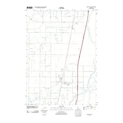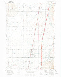
1971 Map of Fort Hall
USGS Topo · Published 1974About this map
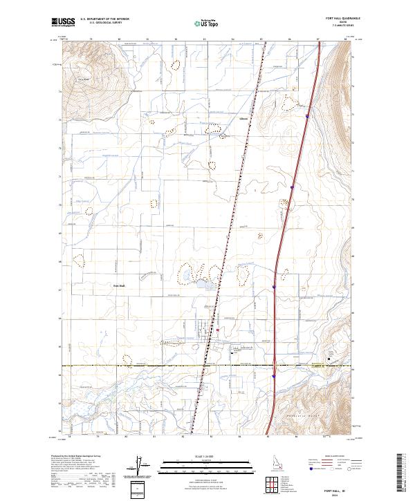
Fort Hall serves as the focal point for this 1970s look at the Fort Hall Indian Reservation, where the landscape is defined by an intricate network of irrigation channels and agricultural infrastructure. The Fort Hall Indian Agency and the Good Shepherd Cem stand near the Union Pacific rail line, which bisects the territory alongside the Gibson Lateral and other waterways like North Canal and Sheepskin Road Lateral. The presence of large-scale grain facilities, including a Grain Elevator and Storage Bins near the tracks, underscores the region's reliance on the rail-to-market economy. To the north, the prominent Ferry Butte rises above the lowlands, while the southern edge of the sheet transitions into the foothills of the Pocatello Range, marked by the winding path of Ross Fork and its various springs.
Find a feature on this map
129 named features on this map. Tap any name to fly to it.
Don’t see what you’re looking for? This feature index may not catch every label — zoom into the map to look around manually.
Map Details
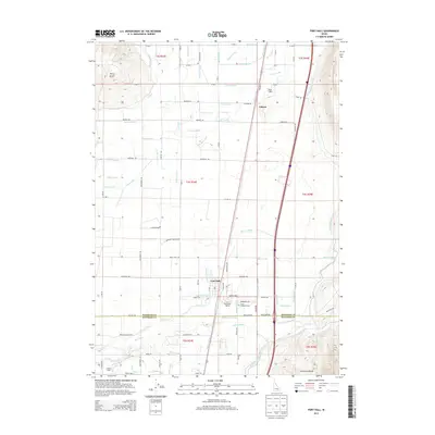
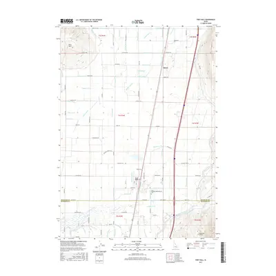
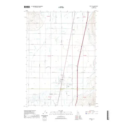
Editions of this 1971 Fort Hall Map
This is the sole edition of this map. No revisions or reprints were ever made.
Historical Maps of Gibson Through Time
6 maps found