
1955 Map of Pingree
USGS Topo · Published 1957About this map
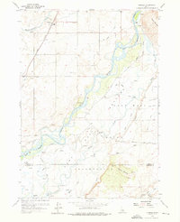
The Fort Hall Indian Reservation dominates the southern landscape of this 1955 survey, where the Snake River carves a winding path through Bingham County. The map documents a critical intersection of historical transit and modern irrigation, featuring both the Union Pacific rail line and the Route of Old Oregon Trail. Land use is defined by a dense network of water management features, from the Aberdeen Springfield Canal to smaller systems like the Enders Canal and Emma Canal. Settled areas near Pingree and Hansen are surrounded by numerous wells and gravel pits, reflecting the agricultural and industrial activity of the mid-20th century. High points like Ferry Butte and Cedar Butte provide topographical contrast to the river bottomlands where Indian Creek and Mud Slough converge. Researchers will find interest in the precise markings of the Bingham Co Bannock Co line and local landmarks like the Cable Bridge and the small Cem located north of the river.
Find a feature on this map
43 named features on this map. Tap any name to fly to it.
Don’t see what you’re looking for? This feature index may not catch every label — zoom into the map to look around manually.
Map Details
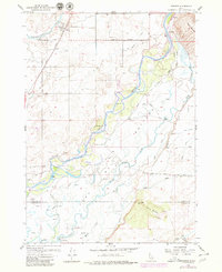
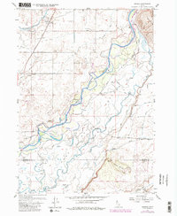
Editions of this 1955 Pingree Map
4 editions found
Other maps of this area

1934 · Michaud
USGS Topo · 1:62,500

1937 · Pocatello
USGS Topo · 1:48,000

1937 · Michaud
USGS Topo · 1:62,500

1940 · Blackfoot
USGS Topo · 1:62,500

1943 · Blackfoot
USGS Topo · 1:62,500

1944 · Pocatello
USGS Topo · 1:62,500

1954 · Pocatello
USGS Topo · 1:250,000

1955 · Springfield NW
USGS Topo · 1:24,000

1955 · Rockford
USGS Topo · 1:24,000

1955 · Springfield
USGS Topo · 1:24,000