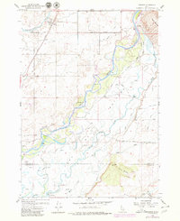
1955 Map of Pingree
USGS Topo · Published 1980About this map
Pingree and the small settlement of Hansen sit along the Union Pacific line in this mid-century survey of the Snake River corridor. The landscape is defined by the sharp transition from the irrigated agricultural tracts served by the Aberdeen Springfield Road to the bottomlands of the Fort Hall Indian Reservation. The river itself winds through the center of the sheet, marked by historical landmarks like Ferry Butte and Cedar Butte. A significant historical layer is revealed in the southern portion of the map, where the Oregon Trail is traced alongside various irrigation features such as the Enders Canal and Emma Canal. The presence of several family-named roads like Jeff Cabin Road and Shoemaker Road provides valuable clues for genealogists researching the development of this riverfront community before later 20th-century shifts in land use.
Find a feature on this map
51 named features on this map. Tap any name to fly to it.
Don’t see what you’re looking for? This feature index may not catch every label — zoom into the map to look around manually.
Map Details
Editions of this 1955 Pingree Map
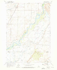
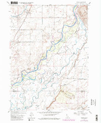
4 editions found
Other maps of this area

1934 · Michaud
USGS Topo · 1:62,500

1937 · Pocatello
USGS Topo · 1:48,000

1937 · Michaud
USGS Topo · 1:62,500

1940 · Blackfoot
USGS Topo · 1:62,500

1943 · Blackfoot
USGS Topo · 1:62,500

1944 · Pocatello
USGS Topo · 1:62,500

1954 · Pocatello
USGS Topo · 1:250,000

1955 · Springfield NW
USGS Topo · 1:24,000

1955 · Rockford
USGS Topo · 1:24,000

1955 · Pingree
USGS Topo · 1:24,000