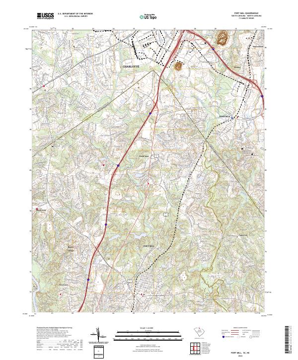
2024 Map of Fort Mill
USGS Topo · Published 2024About this map
Fort Mill sits at the heart of this borderland survey, where the industrial corridors of the Norfolk Southern railway meet a landscape of suburban expansion and managed waters. The map documents the complex intersection of the North Carolina and South Carolina state lines, as well as the meeting of Mecklenburg, York, and Lancaster counties. This contemporary period is defined by the growth of planned communities like Baxter Village and Tega Cay, which contrast with the older rural roots evidenced by scattered family and church burial grounds. Notable sites for local history include McClintock Church Cem and the Lawrence Chapel Presbyterian Church Cem. The terrain is shaped by the drainage of Steele Creek and McAlpine Creek toward the Catawba River, with recreational and industrial reservoirs such as Lake Haigler and Forest Lake marking the modern hydrological footprint of the region.
Find a feature on this map
71 named features on this map. Tap any name to fly to it.
Don’t see what you’re looking for? This feature index may not catch every label — zoom into the map to look around manually.
Map Details
Editions of this 2024 Fort Mill Map
This is the sole edition of this map. No revisions or reprints were ever made.
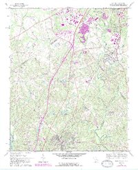
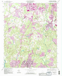
Historical Maps of Charlotte Through Time
4 maps found