
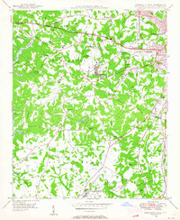
1976 Map of Fort Mill
USGS Topo · Published 1978About this map
Fort Mill and the surrounding borderlands of York County appear in this orthophotograph, captured during a period of significant regional growth in the mid-1970s. The imagery reveals the transitional character of the landscape, where established residential areas like Pineville and Sharonbrook meet more rural stretches of the Catawba R. Unlike a traditional topographic map, this photographic record provides a direct visual account of land clearing and suburban expansion along the drainage of Sugar Creek and Mc Alpine Creek. Key community landmarks, such as Camp Cox and the settlement at Sterling, are visible as they were before decades of further development. The map also includes the river-adjacent community of Riverview, illustrating the relationship between the industrial corridor and the natural waterway.
Find a feature on this map
9 named features on this map. Tap any name to fly to it.
Don’t see what you’re looking for? This feature index may not catch every label — zoom into the map to look around manually.
Map Details
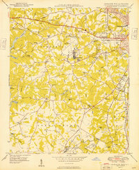
Editions of this 1976 Fort Mill Map
This is the sole edition of this map. No revisions or reprints were ever made.
Other maps of this area

1905 · Charlotte
USGS Topo · 1:48,000

1907 · Charlotte
USGS Topo · 1:62,500

1941 · Charlotte
USGS Topo · 1:125,000

1941 · Spartanburg
USGS Topo · 1:250,000

1942 · Charlotte
USGS Topo · 1:125,000

1947 · Clover
USGS Topo · 1:62,500

1948 · Charlotte East
USGS Topo · 1:24,000
1948 · Charlotte West
USGS Topo · 1:24,000

1949 · Clover
USGS Topo · 1:62,500
1949 · Charlotte West
USGS Topo · 1:24,000