
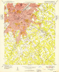
1948 Map of Charlotte East
USGS Topo · Published 1965About this map
Charlotte is shown in a moment of significant expansion, where a dense urban core begins to give way to leafy residential suburbs. The map captures the city's social and educational landscape in 1948, marking prominent institutions like Johnson Smith University, Queens College, and the Thompson Orphanage. The downtown area is highly detailed, featuring City Hall Court House, the Post Office, and specialized schools such as Second Ward High Sch and Isabelle Wynche Sch.
Find a feature on this map
100 named features on this map. Tap any name to fly to it.
Don’t see what you’re looking for? This feature index may not catch every label — zoom into the map to look around manually.
Map Details
Editions of this 1948 Charlotte East Map
This is the sole edition of this map. No revisions or reprints were ever made.
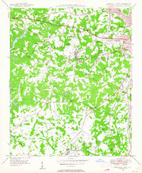
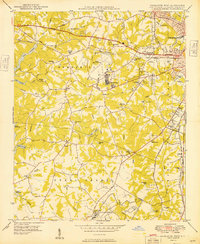
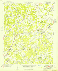
Other maps of this area

1905 · Charlotte
USGS Topo · 1:48,000

1907 · Charlotte
USGS Topo · 1:62,500

1941 · Charlotte
USGS Topo · 1:125,000

1942 · Charlotte
USGS Topo · 1:125,000

1948 · Paw Creek
USGS Topo · 1:24,000

1948 · Derita
USGS Topo · 1:24,000
1948 · Charlotte West
USGS Topo · 1:24,000
1949 · Charlotte West
USGS Topo · 1:24,000
1949 · Charlotte East
USGS Topo · 1:24,000
1949 · Harrisburg
USGS Topo · 1:24,000
Featured Places
- Charlotte, NC
- Beverly Woods East, Charlotte
- Carmel Woods, Charlotte
- Olde Heritage, Charlotte
- Spring Valley, Charlotte